Lumut night lights from space
Night Light of Lumut (Perak) from space (Malaysia) Src. Average luminocity for 10x10km area is 64.5649% and for 50x50km: 9.9706%.
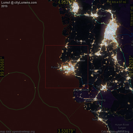
Analysis of Lumut night lights 2016
Square area 10x10 km:
 17.32%
90-99
14.94%80-89
4.76%70-79
7.36%60-69
9.31%50-59
8.66%40-49
15.58%30-39
6.93%20-29
11.9%10-19
3.25%0-9
0%Square area 50x50 km:
1.43%90-99
1.61%80-89
0.57%70-79
0.89%60-69
1.67%50-59
1.66%40-49
2.68%30-39
1.32%20-29
2.55%10-19
5.39%0-9
80.22%Clear (daylight) street map image can be seen on geolist.org.
Map coordinates:
4° 55' 59.4" North, 99° 55' 36" East
4° 13' 56.3" North, 100° 37' 47.3" East
3° 31' 50.8" North, 101° 19' 58.5" East
Some cities around Lumut sort by population:
• Ipoh
63.7 km =39.6 mi,  52°
52°
• Teluk Intan
49.3 km =30.6 mi,  118°
118°
• Batu Gajah
52.7 km =32.7 mi,  59°
59°
• Kuala Kangsar
68.3 km =42.4 mi,  29°
29°
• Tapah Road
63.6 km =39.5 mi,  96°
96°
• Kampar
58.2 km =36.2 mi,  82°
82°
• Sabak Bernam
65 km =40.4 mi,  142°
142°
• Pantai Remis
24.8 km =15.4 mi,  359°
359°
1735450 (p: 39,595)
Sources (retrieved 2019-11-25):
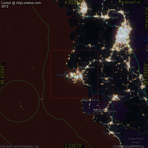
» Earth at Night: Flat Maps 2012, 2016