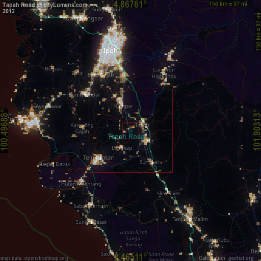
Tapah Road night lights from space
Night Light of Tapah Road (Perak) from space (Malaysia) Src. Average luminocity for 10x10km area is 14.1948% and for 50x50km: 10.0325%.
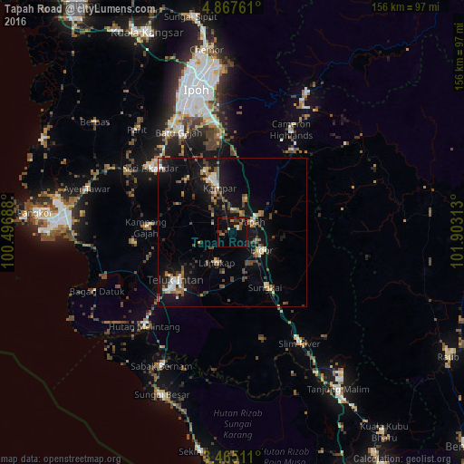
Analysis of Tapah Road night lights 2016
Square area 10x10 km:
 0.87%
0.87%90-99
0.87%80-89
0.87%70-79
0.87%60-69
2.6%50-59
2.38%40-49
2.38%30-39
4.33%20-29
0%10-19
17.32%0-9
67.53%Square area 50x50 km:
0.8%90-99
1.21%80-89
0.88%70-79
0.87%60-69
1.28%50-59
1.68%40-49
2.72%30-39
1.21%20-29
1%10-19
11.71%0-9
76.65%Clear (daylight) street map image can be seen on geolist.org.
Map coordinates:
4° 52' 3.4" North, 100° 29' 48.8" East
4° 10' 0" North, 101° 12' 0" East
3° 27' 54.4" North, 101° 54' 11.3" East
Some cities around Tapah Road sort by population:
• Ipoh
48.2 km =30 mi,  344°
344°
• Teluk Intan
25.6 km =15.9 mi,  231°
231°
• Batu Gajah
38 km =23.6 mi,  332°
332°
• Bidur
10.8 km =6.7 mi,  121°
121°
• Sungai Besar
59.6 km =37 mi,  203°
203°
• Kampar
15.8 km =9.8 mi, 339°
• Sabak Bernam
50 km =31.1 mi,  208°
208°
• Tanah Rata
38.4 km =23.9 mi,  30°
30°
1735282 (p: 27,863)
Sources (retrieved 2019-11-25):
» Earth at Night: Flat Maps 2012, 2016