Kuala Kangsar night lights from space
Night Light of Kuala Kangsar (Perak) from space (Malaysia) Src. Average luminocity for 10x10km area is 42.2169% and for 50x50km: 19.4927%.
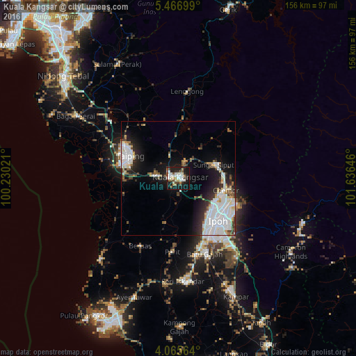
Analysis of Kuala Kangsar night lights 2016
Square area 10x10 km:
 6.82%
6.82%90-99
13.64%80-89
2.07%70-79
4.55%60-69
4.34%50-59
4.34%40-49
3.1%30-39
5.99%20-29
10.95%10-19
39.26%0-9
4.96%Square area 50x50 km:
6.46%90-99
4.69%80-89
1.41%70-79
1.05%60-69
1.42%50-59
1.35%40-49
1.55%30-39
2.15%20-29
4.15%10-19
9.89%0-9
65.89%Clear (daylight) street map image can be seen on geolist.org.
Map coordinates:
5° 28' 1.2" North, 100° 13' 48.8" East
4° 46' 0" North, 100° 55' 60" East
4° 3' 56.3" North, 101° 38' 11.3" East
Some cities around Kuala Kangsar sort by population:
• Ipoh
26.2 km =16.3 mi,  140°
140°
• Taiping
24 km =14.9 mi,  292°
292°
• Simpang Empat
39 km =24.2 mi,  301°
301°
• Batu Gajah
35.2 km =21.9 mi,  160°
160°
• Bagan Serai
51.2 km =31.8 mi, 301°
• Kampar
57.2 km =35.5 mi, 155°
• Pantai Remis
48.3 km =30 mi,  224°
224°
• Tanah Rata
59.5 km =37 mi,  124°
124°
1734599 (p: 39,331)
Sources (retrieved 2019-11-25):
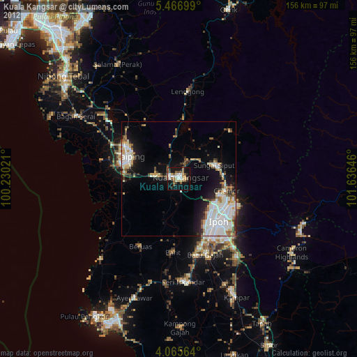
» Earth at Night: Flat Maps 2012, 2016