Ipoh night lights from space
Night Light of Ipoh (Perak) from space (Malaysia) Src. Average luminocity for 10x10km area is 98.376% and for 50x50km: 24.6268%.
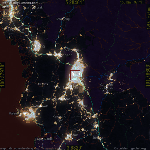
Analysis of Ipoh night lights 2016
Square area 10x10 km:
 61.36%
90-99
32.64%80-89
4.34%70-79
1.65%60-69
0%50-59
0%40-49
0%30-39
0%20-29
0%10-19
0%0-9
0%Square area 50x50 km:
6.69%90-99
5.32%80-89
1.94%70-79
1.66%60-69
1.89%50-59
2.11%40-49
3.04%30-39
4.09%20-29
6.32%10-19
15.95%0-9
51%Clear (daylight) street map image can be seen on geolist.org.
Map coordinates:
5° 17' 4.6" North, 100° 22' 47.2" East
4° 35' 2.8" North, 101° 4' 58.4" East
3° 52' 58.4" North, 101° 47' 9.7" East
Some cities around Ipoh sort by population:
• Taiping
48.7 km =30.3 mi,  307°
307°
• Batu Gajah
13.6 km =8.5 mi,  199°
199°
• Kuala Kangsar
26.2 km =16.3 mi,  320°
320°
• Bidur
56.5 km =35.1 mi,  156°
156°
• Tapah Road
48.2 km =30 mi, 164°
• Kampar
32.5 km =20.2 mi,  166°
166°
• Pantai Remis
52.3 km =32.5 mi,  254°
254°
• Tanah Rata
35.2 km =21.9 mi,  112°
112°
1734634 (p: 673,318)
Sources (retrieved 2019-11-25):
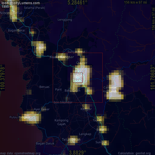
» NASA, Earths city lights 1995
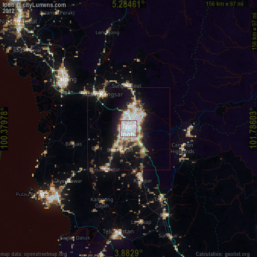
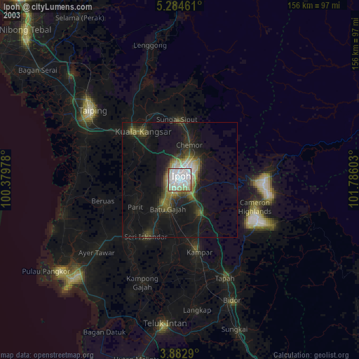
» NASA city lights 2003
» Earth at Night: Flat Maps 2012, 2016