Kota Belud night lights from space
Night Light of Kota Belud (Sabah) from space (Malaysia) Src. Average luminocity for 10x10km area is 9.5823% and for 50x50km: 1.3567%.
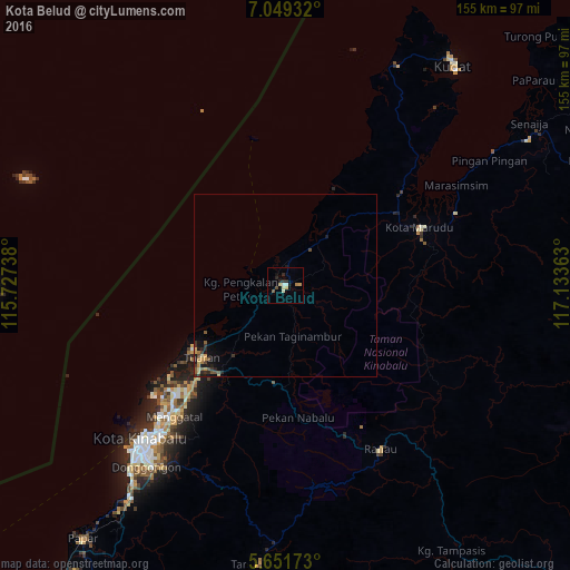
Analysis of Kota Belud night lights 2016
Square area 10x10 km:
 0%
0%90-99
3.03%80-89
1.3%70-79
2.16%60-69
0.43%50-59
0.87%40-49
0.87%30-39
0%20-29
4.33%10-19
1.95%0-9
85.06%Square area 50x50 km:
0%90-99
0.15%80-89
0.17%70-79
0.3%60-69
0.16%50-59
0.29%40-49
0.22%30-39
0.23%20-29
0.51%10-19
0.74%0-9
97.21%Clear (daylight) street map image can be seen on geolist.org.
Map coordinates:
7° 2' 57.6" North, 115° 43' 38.6" East
6° 21' 3.6" North, 116° 25' 49.8" East
5° 39' 6.2" North, 117° 8' 1.1" East
Some cities around Kota Belud sort by population:
• Putatan
62.5 km =38.8 mi,  220°
220°
• Keningau
116.6 km =72.5 mi,  194°
194°
• Donggongon
61.3 km =38.1 mi, 216°
• Kudat
73.8 km =45.9 mi,  36°
36°
• Ranau
51.2 km =31.8 mi,  149°
149°
• Papar
88 km =54.7 mi, 218°
• Beaufort
134.9 km =83.8 mi,  214°
214°
• Kinarut
72.4 km =45 mi, 215°
1736660 (p: 12,825)
Sources (retrieved 2019-11-25):
» Earth at Night: Flat Maps 2012, 2016