Kudat night lights from space
Night Light of Kudat (Sabah) from space (Malaysia) Src. Average luminocity for 10x10km area is 11.8571% and for 50x50km: 0.7174%.
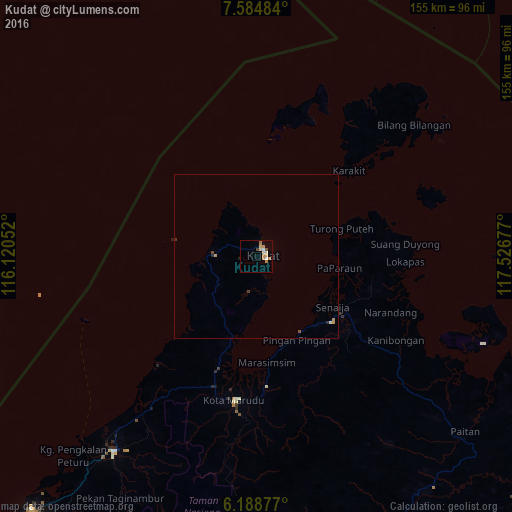
Analysis of Kudat night lights 2016
Square area 10x10 km:
 0.87%
0.87%90-99
2.16%80-89
1.95%70-79
3.03%60-69
3.25%50-59
0%40-49
1.73%30-39
0%20-29
0%10-19
0.43%0-9
86.58%Square area 50x50 km:
0.03%90-99
0.12%80-89
0.08%70-79
0.22%60-69
0.14%50-59
0.03%40-49
0.12%30-39
0.05%20-29
0.07%10-19
0.03%0-9
99.1%Clear (daylight) street map image can be seen on geolist.org.
Map coordinates:
7° 35' 5.4" North, 116° 7' 13.9" East
6° 53' 14.4" North, 116° 49' 25.1" East
6° 11' 19.6" North, 117° 31' 36.4" East
Some cities around Kudat sort by population:
• Kota Kinabalu
131.1 km =81.5 mi,  219°
219°
• Putatan
136.1 km =84.6 mi, 218°
• Donggongon
135.1 km =83.9 mi, 216°
• Ranau
105.3 km =65.4 mi,  189°
189°
• Papar
161.7 km =100.5 mi, 217°
• Kinarut
146.2 km =90.8 mi, 215°
• Kota Belud
73.8 km =45.9 mi, 216°
• Balabac, PH
124.4 km =77.3 mi,  11°
11°
1736458 (p: 32,393)
Sources (retrieved 2019-11-25):
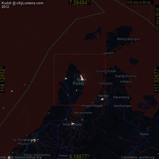
» Earth at Night: Flat Maps 2012, 2016