Kuang night lights from space
Night Light of Kuang (Selangor) from space (Malaysia) Src. Average luminocity for 10x10km area is 81.671% and for 50x50km: 58.2343%.
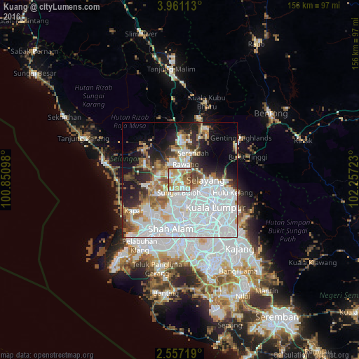
Analysis of Kuang night lights 2016
Square area 10x10 km:
 16.88%
90-99
23.59%80-89
13.42%70-79
18.4%60-69
20.56%50-59
4.76%40-49
2.38%30-39
0%20-29
0%10-19
0%0-9
0%Square area 50x50 km:
28.31%90-99
11.35%80-89
3.37%70-79
4.09%60-69
6.48%50-59
4.33%40-49
3.57%30-39
3.31%20-29
6.97%10-19
9.93%0-9
18.28%Clear (daylight) street map image can be seen on geolist.org.
Map coordinates:
3° 57' 40.1" North, 100° 51' 3.5" East
3° 15' 33.8" North, 101° 33' 14.8" East
2° 33' 25.9" North, 102° 15' 26" East
Some cities around Kuang sort by population:
• Kuala Lumpur
19.7 km =12.2 mi,  131°
131°
• Kampung Baru Subang
12.4 km =7.7 mi,  190°
190°
• Petaling Jaya
17.9 km =11.1 mi,  160°
160°
• Shah Alam
19.5 km =12.1 mi, 186°
• Rawang
7.3 km =4.5 mi,  20°
20°
• Serendah
12.9 km =8 mi,  25°
25°
• Ladang Seri Kundang
4.9 km =3 mi,  306°
306°
• Batu Arang
11.6 km =7.2 mi,  303°
303°
1759486 (p: 21,185)
Sources (retrieved 2019-11-25):
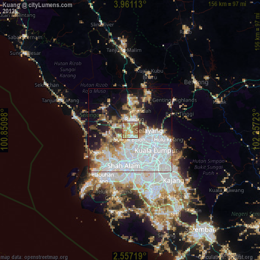
» Earth at Night: Flat Maps 2012, 2016