Zinacantepec night lights from space
Night Light of Zinacantepec (México) from space (Mexico) Src. Average luminocity for 10x10km area is 74.2403% and for 50x50km: 32.0989%.
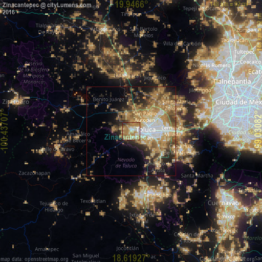
Analysis of Zinacantepec night lights 2016
Square area 10x10 km:
 6.93%
6.93%90-99
12.55%80-89
16.67%70-79
20.13%60-69
33.77%50-59
3.25%40-49
3.25%30-39
2.81%20-29
0.65%10-19
0%0-9
0%Square area 50x50 km:
4.06%90-99
3.73%80-89
5.31%70-79
6.78%60-69
8.64%50-59
4.49%40-49
4.6%30-39
3.84%20-29
6.37%10-19
9.09%0-9
43.09%Clear (daylight) street map image can be seen on geolist.org.
Map coordinates:
19° 56' 47.8" North, 100° 26' 13.5" West
19° 17' 3.4" North, 99° 44' 2.2" West
18° 37' 9.4" North, 99° 1' 51" West
Some cities around Zinacantepec sort by population:
• San Francisco Tlalcilalcalpan
3.7 km =2.3 mi,  288°
288°
• San Antonio Acahualco
4.1 km =2.5 mi,  253°
253°
• San Juan de las Huertas
4.8 km =3 mi,  212°
212°
• Cacalomacan
4.5 km =2.8 mi,  139°
139°
• Ejido San Lorenzo Cuauhtenco
2.6 km =1.6 mi,  317°
317°
• Santa Cruz Cuauhtenco
3.9 km =2.4 mi,  173°
173°
• Conjunto Urbano la Loma I
4.7 km =2.9 mi,  2°
2°
• San Antonio Buenavista
3.5 km =2.2 mi, 138°
3518221 (p: 54,220)
Sources (retrieved 2019-11-25):
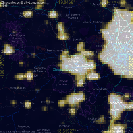
» NASA, Earths city lights 1995
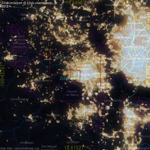
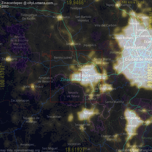
» NASA city lights 2003
» Earth at Night: Flat Maps 2012, 2016