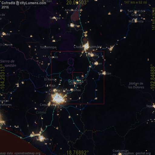
Cofradía night lights from space
Night Light of Cofradía (Colima) from space (Mexico) Src. Average luminocity for 10x10km area is 7.0434% and for 50x50km: 8.0194%.
Analysis of Cofradía night lights 2016
Square area 10x10 km:
 0%
0%90-99
0%80-89
1.65%70-79
1.24%60-69
2.07%50-59
0.21%40-49
2.27%30-39
2.27%20-29
1.03%10-19
0.83%0-9
88.43%Square area 50x50 km:
1.15%90-99
0.96%80-89
1.28%70-79
1.59%60-69
0.9%50-59
0.93%40-49
1.2%30-39
1.41%20-29
1.46%10-19
3.08%0-9
86.05%Clear (daylight) street map image can be seen on geolist.org.
Map coordinates:
20° 5' 42.1" North, 104° 15' 11.3" West
19° 25' 60" North, 103° 33' 0" West
18° 46' 8.1" North, 102° 50' 48.8" West
Some cities around Cofradía sort by population:
• Ciudad de Villa de Álvarez
27 km =16.8 mi,  226°
226°
• Tuxpan
22.8 km =14.2 mi,  53°
53°
• Zapotiltic
25.7 km =16 mi,  32°
32°
• Tecalitlán
25.8 km =16 mi,  80°
80°
• Comala
24.9 km =15.5 mi,  241°
241°
• Quesería
5.7 km =3.5 mi,  204°
204°
• Cuauhtémoc
12.9 km =8 mi,  205°
205°
• Pihuamo
26.9 km =16.7 mi,  139°
139°
4013567 (p: 6,495)
Sources (retrieved 2019-11-25):
» Earth at Night: Flat Maps 2012, 2016