Xoxocotla night lights from space
Night Light of Xoxocotla (Morelos) from space (Mexico) Src. Average luminocity for 10x10km area is 41.4917% and for 50x50km: 24.2534%.
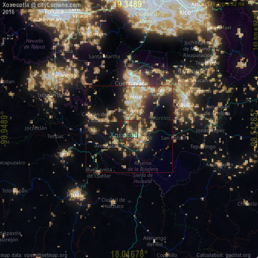
Analysis of Xoxocotla night lights 2016
Square area 10x10 km:
 0.62%
0.62%90-99
0.62%80-89
4.34%70-79
10.33%60-69
7.85%50-59
7.02%40-49
11.98%30-39
18.8%20-29
22.93%10-19
15.5%0-9
0%Square area 50x50 km:
0.83%90-99
1.82%80-89
5.3%70-79
4.94%60-69
4.88%50-59
2.74%40-49
5.02%30-39
4.55%20-29
6.98%10-19
15.86%0-9
47.08%Clear (daylight) street map image can be seen on geolist.org.
Map coordinates:
19° 20' 56" North, 99° 56' 56" West
18° 41' 2.9" North, 99° 14' 44.8" West
18° 1' 0.4" North, 98° 32' 33.5" West
Some cities around Xoxocotla sort by population:
• Zacatepec
6.8 km =4.2 mi,  119°
119°
• Puente de Ixtla
10.8 km =6.7 mi,  224°
224°
• Jojutla
10.4 km =6.5 mi,  138°
138°
• Tlaquiltenango
10.3 km =6.4 mi, 122°
• Santa Rosa Treinta
6.8 km =4.2 mi,  74°
74°
• Galeana
6.2 km =3.9 mi,  145°
145°
• Coatetelco
9.9 km =6.2 mi,  300°
300°
• Alpuyeca
6.4 km =4 mi,  347°
347°
3514398 (p: 21,074)
Sources (retrieved 2019-11-25):
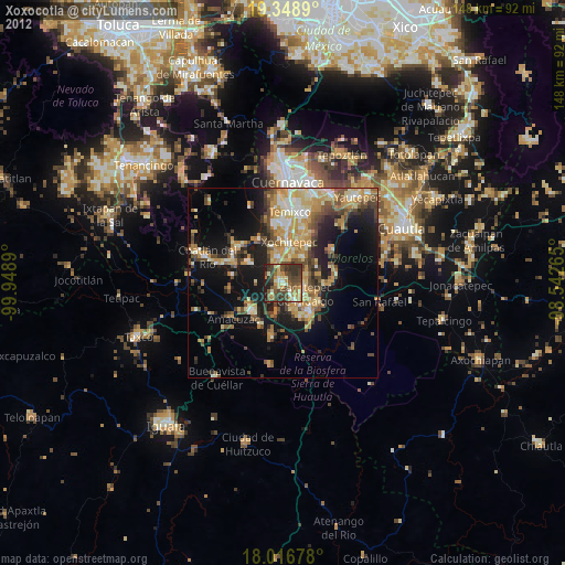
» Earth at Night: Flat Maps 2012, 2016