Valladolid night lights from space
Night Light of Valladolid (Yucatán) from space (Mexico) Src. Average luminocity for 10x10km area is 33.3769% and for 50x50km: 3.0906%.
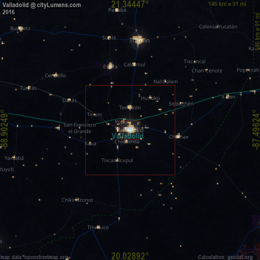
Analysis of Valladolid night lights 2016
Square area 10x10 km:
 3.79%
3.79%90-99
6.82%80-89
5.3%70-79
2.46%60-69
3.6%50-59
3.6%40-49
4.92%30-39
4.36%20-29
6.06%10-19
49.24%0-9
9.85%Square area 50x50 km:
0.18%90-99
0.33%80-89
0.54%70-79
0.34%60-69
0.28%50-59
0.42%40-49
0.81%30-39
0.52%20-29
0.54%10-19
2.65%0-9
93.39%Clear (daylight) street map image can be seen on geolist.org.
Map coordinates:
21° 20' 40.1" North, 88° 54' 9" West
20° 41' 17.2" North, 88° 11' 57.7" West
20° 1' 44.1" North, 87° 29' 46.5" West
Some cities around Valladolid sort by population:
• Tizimín
50.8 km =31.6 mi,  5°
5°
• Chichén-Itzá
38.3 km =23.8 mi,  266°
266°
• Chemax
27.6 km =17.1 mi,  97°
97°
• Espita
37.6 km =23.4 mi,  342°
342°
• Temozon
12.9 km =8 mi,  358°
358°
• Piste
40.5 km =25.2 mi, 271°
• Chichimila
6.5 km =4 mi,  196°
196°
• X-Cán
58.2 km =36.2 mi,  71°
71°
3514876 (p: 48,973)
Sources (retrieved 2019-11-25):
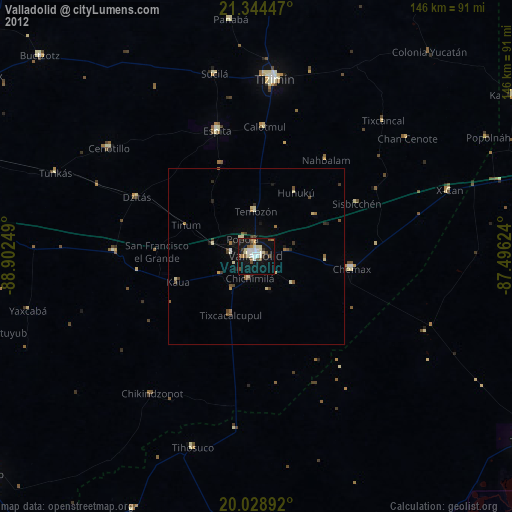
» Earth at Night: Flat Maps 2012, 2016