Chichimila night lights from space
Night Light of Chichimila (Yucatán) from space (Mexico) Src. Average luminocity for 10x10km area is 10.5133% and for 50x50km: 3.0267%.
Analysis of Chichimila night lights 2016
Square area 10x10 km:
 0%
0%90-99
0.38%80-89
1.52%70-79
0.95%60-69
0.57%50-59
0.76%40-49
3.03%30-39
1.14%20-29
2.27%10-19
23.48%0-9
65.91%Square area 50x50 km:
0.18%90-99
0.33%80-89
0.54%70-79
0.34%60-69
0.26%50-59
0.4%40-49
0.73%30-39
0.52%20-29
0.54%10-19
2.62%0-9
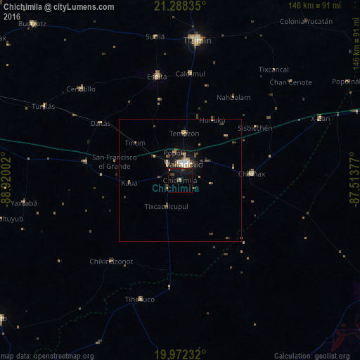
93.53%Clear (daylight) street map image can be seen on geolist.org.
Map coordinates:
21° 17' 18.1" North, 88° 55' 12.1" West
20° 37' 54.3" North, 88° 13' 0.8" West
19° 58' 20.4" North, 87° 30' 49.6" West
Some cities around Chichimila sort by population:
• Valladolid
6.5 km =4 mi,  16°
16°
• Tizimín
57.2 km =35.5 mi,  6°
6°
• Chemax
29.3 km =18.2 mi,  84°
84°
• Espita
43.2 km =26.8 mi,  347°
347°
• Temozon
19.2 km =11.9 mi,  4°
4°
• Piste
39.4 km =24.5 mi,  281°
281°
• Panabá
74.1 km =46 mi,  355°
355°
• X-Cán
62.2 km =38.6 mi,  66°
66°
3530948 (p: 5,528)
Sources (retrieved 2019-11-25):
» Earth at Night: Flat Maps 2012, 2016