Piste night lights from space
Night Light of Piste (Yucatán) from space (Mexico) Src. Average luminocity for 10x10km area is 2.8617% and for 50x50km: 0.6894%.
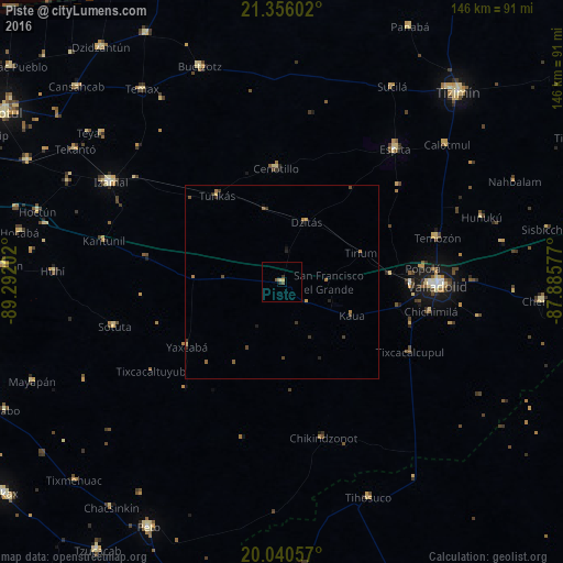
Analysis of Piste night lights 2016
Square area 10x10 km:
 0%
0%90-99
0%80-89
1.52%70-79
0%60-69
0%50-59
0.76%40-49
0.76%30-39
1.14%20-29
0.38%10-19
0%0-9
95.45%Square area 50x50 km:
0%90-99
0%80-89
0.15%70-79
0.07%60-69
0.18%50-59
0.14%40-49
0.22%30-39
0.28%20-29
0.14%10-19
0.09%0-9
98.72%Clear (daylight) street map image can be seen on geolist.org.
Map coordinates:
21° 21' 21.7" North, 89° 17' 31.3" West
20° 41' 59" North, 88° 35' 20" West
20° 2' 26.1" North, 87° 53' 8.8" West
Some cities around Piste sort by population:
• Valladolid
40.5 km =25.2 mi,  91°
91°
• Chichén-Itzá
4.3 km =2.7 mi,  147°
147°
• Izamal
51.7 km =32.1 mi,  300°
300°
• Espita
45.4 km =28.2 mi,  40°
40°
• Buctzotz
59.8 km =37.2 mi,  339°
339°
• Temozon
41.9 km =26 mi,  73°
73°
• Sotuta
45.1 km =28 mi,  255°
255°
• Chichimila
39.4 km =24.5 mi,  101°
101°
3521411 (p: 5,528)
Sources (retrieved 2019-11-25):
» Earth at Night: Flat Maps 2012, 2016