X-Cán night lights from space
Night Light of X-Cán (Yucatán) from space (Mexico) Src. Average luminocity for 10x10km area is 3.1667% and for 50x50km: 0.5538%.
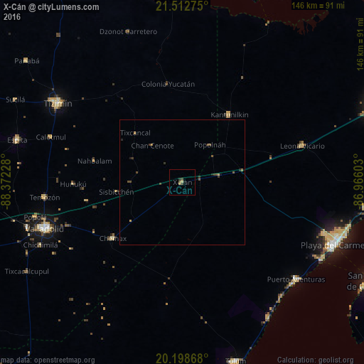
Analysis of X-Cán night lights 2016
Square area 10x10 km:
 0%
0%90-99
0%80-89
1.19%70-79
0.4%60-69
0%50-59
0.6%40-49
1.79%30-39
0%20-29
1.59%10-19
0%0-9
94.44%Square area 50x50 km:
0%90-99
0%80-89
0.11%70-79
0.02%60-69
0.1%50-59
0.17%40-49
0.27%30-39
0.15%20-29
0.22%10-19
0.04%0-9
98.94%Clear (daylight) street map image can be seen on geolist.org.
Map coordinates:
21° 30' 45.9" North, 88° 22' 20.2" West
20° 51' 25.7" North, 87° 40' 8.9" West
20° 11' 55.2" North, 86° 57' 57.7" West
Some cities around X-Cán sort by population:
• Valladolid
58.2 km =36.2 mi,  251°
251°
• Tizimín
59.2 km =36.8 mi,  302°
302°
• Chemax
35.7 km =22.2 mi,  231°
231°
• Kantunilkín
33.2 km =20.6 mi,  34°
34°
• Temozon
55.6 km =34.5 mi,  263°
263°
• Puerto Aventuras
60.8 km =37.8 mi,  130°
130°
• Leona Vicario
50.7 km =31.5 mi,  73°
73°
• Chichimila
62.2 km =38.6 mi, 246°
3514559 (p: 5,191)
Sources (retrieved 2019-11-25):
» Earth at Night: Flat Maps 2012, 2016