Tizimín night lights from space
Night Light of Tizimín (Yucatán) from space (Mexico) Src. Average luminocity for 10x10km area is 23.0972% and for 50x50km: 1.8456%.
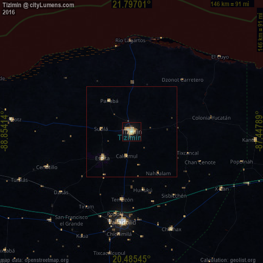
Analysis of Tizimín night lights 2016
Square area 10x10 km:
 0.4%
0.4%90-99
1.19%80-89
10.32%70-79
3.97%60-69
3.37%50-59
0.79%40-49
2.18%30-39
1.39%20-29
2.98%10-19
13.89%0-9
59.52%Square area 50x50 km:
0.02%90-99
0.08%80-89
0.74%70-79
0.34%60-69
0.19%50-59
0.17%40-49
0.31%30-39
0.25%20-29
0.17%10-19
0.59%0-9
97.15%Clear (daylight) street map image can be seen on geolist.org.
Map coordinates:
21° 47' 49.2" North, 88° 51' 14.9" West
21° 8' 33.6" North, 88° 9' 3.6" West
20° 29' 7.6" North, 87° 26' 52.4" West
Some cities around Tizimín sort by population:
• Valladolid
50.8 km =31.6 mi,  185°
185°
• Chemax
58.5 km =36.4 mi,  157°
157°
• Espita
21.8 km =13.5 mi,  227°
227°
• Buctzotz
66.9 km =41.6 mi,  275°
275°
• Temozon
38 km =23.6 mi, 187°
• Chichimila
57.2 km =35.5 mi, 186°
• Panabá
21 km =13 mi,  324°
324°
• X-Cán
59.2 km =36.8 mi,  122°
122°
3515504 (p: 46,971)
Sources (retrieved 2019-11-25):
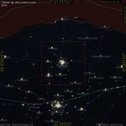
» Earth at Night: Flat Maps 2012, 2016