Espita night lights from space
Night Light of Espita (Yucatán) from space (Mexico) Src. Average luminocity for 10x10km area is 7.7381% and for 50x50km: 2.1121%.
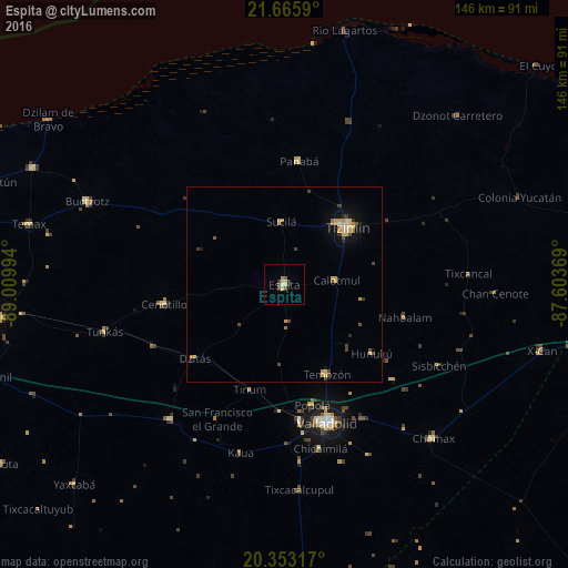
Analysis of Espita night lights 2016
Square area 10x10 km:
 0%
0%90-99
0.79%80-89
3.17%70-79
0.79%60-69
0%50-59
1.59%40-49
1.59%30-39
1.79%20-29
0.6%10-19
0%0-9
89.68%Square area 50x50 km:
0.02%90-99
0.08%80-89
0.8%70-79
0.35%60-69
0.23%50-59
0.23%40-49
0.52%30-39
0.26%20-29
0.19%10-19
0.72%0-9
96.62%Clear (daylight) street map image can be seen on geolist.org.
Map coordinates:
21° 39' 57.2" North, 89° 0' 35.8" West
21° 0' 39.5" North, 88° 18' 24.5" West
20° 21' 11.4" North, 87° 36' 13.3" West
Some cities around Espita sort by population:
• Valladolid
37.6 km =23.4 mi,  162°
162°
• Tizimín
21.8 km =13.5 mi,  47°
47°
• Chichén-Itzá
46.8 km =29.1 mi,  215°
215°
• Buctzotz
54.7 km =34 mi,  292°
292°
• Temozon
25.5 km =15.8 mi,  154°
154°
• Piste
45.4 km =28.2 mi, 220°
• Chichimila
43.2 km =26.8 mi,  167°
167°
• Panabá
31.9 km =19.8 mi,  6°
6°
3527720 (p: 11,551)
Sources (retrieved 2019-11-25):
» Earth at Night: Flat Maps 2012, 2016