Unión y Progreso night lights from space
Night Light of Unión y Progreso (Veracruz) from space (Mexico) Src. Average luminocity for 10x10km area is 61.8745% and for 50x50km: 16.8327%.
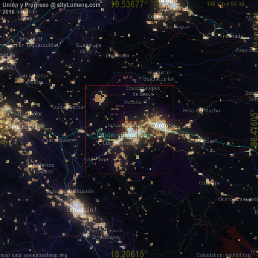
Analysis of Unión y Progreso night lights 2016
Square area 10x10 km:
 14.07%
90-99
16.67%80-89
5.19%70-79
6.49%60-69
11.47%50-59
5.63%40-49
9.96%30-39
9.74%20-29
13.42%10-19
7.14%0-9
0.22%Square area 50x50 km:
1.24%90-99
1.92%80-89
1.77%70-79
2.53%60-69
4.08%50-59
1.89%40-49
3.45%30-39
3.49%20-29
4.65%10-19
11.17%0-9
63.81%Clear (daylight) street map image can be seen on geolist.org.
Map coordinates:
19° 32' 12.4" North, 97° 49' 20.3" West
18° 52' 22" North, 97° 7' 9" West
18° 12' 22.1" North, 96° 24' 57.8" West
Some cities around Unión y Progreso sort by population:
• Orizaba
3.1 km =1.9 mi,  138°
138°
• Río Blanco
6.1 km =3.8 mi,  219°
219°
• Ixtaczoquitlán
6.4 km =4 mi,  109°
109°
• Nogales
6.8 km =4.2 mi, 222°
• Palmira
1.4 km =0.9 mi,  36°
36°
• Rafael Delgado
8.6 km =5.3 mi, 144°
• Atzacan
5.4 km =3.4 mi, 44°
• Jalapilla
6.1 km =3.8 mi,  148°
148°
8858183 (p: 8,181)
Sources (retrieved 2019-11-25):
» Earth at Night: Flat Maps 2012, 2016