Teziutlan night lights from space
Night Light of Teziutlan (Puebla) from space (Mexico) Src. Average luminocity for 10x10km area is 48.9194% and for 50x50km: 9.2601%.
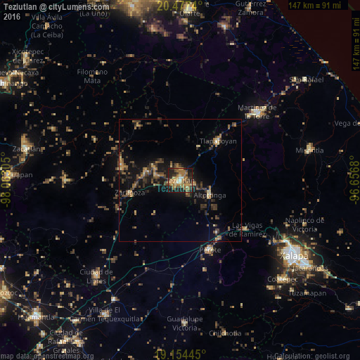
Analysis of Teziutlan night lights 2016
Square area 10x10 km:
 1.65%
1.65%90-99
2.07%80-89
7.02%70-79
14.05%60-69
19.83%50-59
5.17%40-49
8.47%30-39
9.09%20-29
16.32%10-19
16.12%0-9
0.21%Square area 50x50 km:
0.14%90-99
0.24%80-89
1.02%70-79
1.29%60-69
2.01%50-59
1.27%40-49
2.74%30-39
2.4%20-29
2.75%10-19
8.15%0-9
77.98%Clear (daylight) street map image can be seen on geolist.org.
Map coordinates:
20° 28' 38.6" North, 98° 3' 47" West
19° 49' 2.3" North, 97° 21' 35.7" West
19° 9' 16" North, 96° 39' 24.5" West
Some cities around Teziutlan sort by population:
• Altotonga
13.3 km =8.3 mi,  115°
115°
• Jalacingo
5.6 km =3.5 mi,  106°
106°
• Chinautla
3 km =1.9 mi,  275°
275°
• Tlatlauquitepec
14.7 km =9.1 mi, 283°
• San Juan Xiutetelco
4.3 km =2.7 mi, 124°
• Atempan
10.6 km =6.6 mi, 283°
• Hueyapán
11.5 km =7.1 mi,  309°
309°
• Atoluca
4.2 km =2.6 mi,  8°
8°
3515696 (p: 58,699)
Sources (retrieved 2019-11-25):
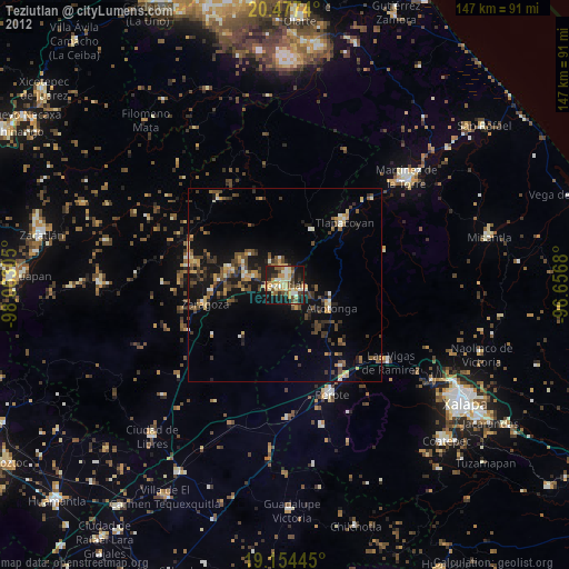
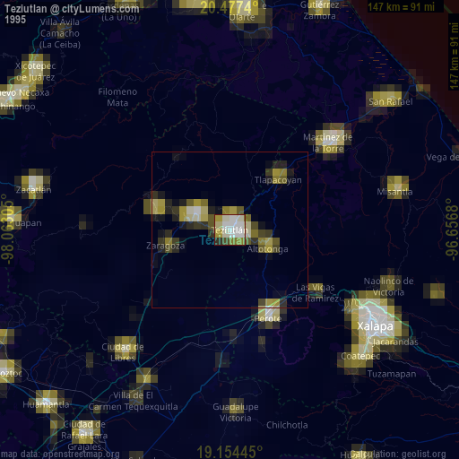
» NASA, Earths city lights 1995
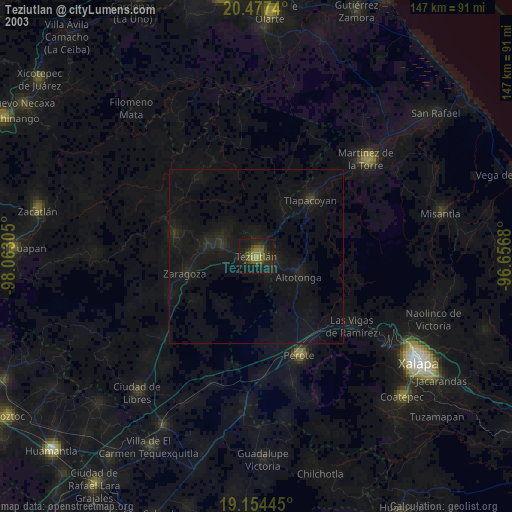
» NASA city lights 2003
» Earth at Night: Flat Maps 2012, 2016