Tlapa de Comonfort night lights from space
Night Light of Tlapa de Comonfort (Guerrero) from space (Mexico) Src. Average luminocity for 10x10km area is 20.376% and for 50x50km: 3.0429%.
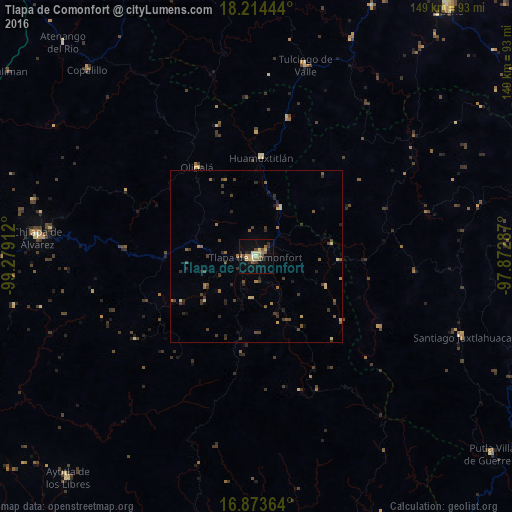
Analysis of Tlapa de Comonfort night lights 2016
Square area 10x10 km:
 0.21%
0.21%90-99
1.65%80-89
4.96%70-79
3.1%60-69
3.72%50-59
3.93%40-49
1.86%30-39
3.1%20-29
3.51%10-19
7.23%0-9
66.74%Square area 50x50 km:
0.01%90-99
0.07%80-89
0.56%70-79
0.29%60-69
0.58%50-59
0.58%40-49
0.73%30-39
1.05%20-29
0.76%10-19
0.76%0-9
94.62%Clear (daylight) street map image can be seen on geolist.org.
Map coordinates:
18° 12' 52" North, 99° 16' 44.8" West
17° 32' 43" North, 98° 34' 33.6" West
16° 52' 25.1" North, 97° 52' 22.3" West
Some cities around Tlapa de Comonfort sort by population:
• Chilapa de Álvarez
63.7 km =39.6 mi,  275°
275°
• Santiago Juxtlahuaca
64.3 km =40 mi,  111°
111°
• Copalillo
73.4 km =45.6 mi,  317°
317°
• Zitlala
66.7 km =41.4 mi, 284°
• Huamuxtitlán
28.8 km =17.9 mi,  2°
2°
• Olinalá
31.2 km =19.4 mi,  326°
326°
• Quechultenango
72.1 km =44.8 mi,  258°
258°
• Tulcingo de Valle
57.2 km =35.5 mi,  14°
14°
3515384 (p: 46,975)
Sources (retrieved 2019-11-25):
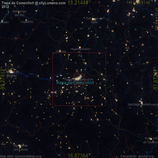
» Earth at Night: Flat Maps 2012, 2016