Copalillo night lights from space
Night Light of Copalillo (Guerrero) from space (Mexico) Src. Average luminocity for 10x10km area is 2.8571% and for 50x50km: 0.4255%.
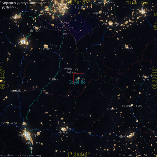
Analysis of Copalillo night lights 2016
Square area 10x10 km:
 0%
0%90-99
0%80-89
0%70-79
0.65%60-69
1.08%50-59
0.87%40-49
0.87%30-39
0.65%20-29
1.08%10-19
0%0-9
94.81%Square area 50x50 km:
0%90-99
0%80-89
0.07%70-79
0.08%60-69
0.11%50-59
0.1%40-49
0.13%30-39
0.07%20-29
0.22%10-19
0%0-9
99.21%Clear (daylight) street map image can be seen on geolist.org.
Map coordinates:
18° 42' 5.7" North, 99° 44' 39.7" West
18° 2' 3.4" North, 99° 2' 28.5" West
17° 21' 51.9" North, 98° 20' 17.2" West
Some cities around Copalillo sort by population:
• Chilapa de Álvarez
50.4 km =31.3 mi,  196°
196°
• Ciudad de Huitzuco
43 km =26.7 mi,  314°
314°
• Chiautla de Tapia
55 km =34.2 mi,  57°
57°
• Ciudad de Chiautla de Tapia
54.8 km =34.1 mi, 57°
• Jolalpan
38.4 km =23.9 mi,  32°
32°
• Tepecoacuilco de Trujano
52.8 km =32.8 mi,  302°
302°
• Zitlala
41.2 km =25.6 mi, 201°
• Olinalá
42.8 km =26.6 mi,  131°
131°
3530259 (p: 6,910)
Sources (retrieved 2019-11-25):
» Earth at Night: Flat Maps 2012, 2016