Zitlala night lights from space
Night Light of Zitlala (Guerrero) from space (Mexico) Src. Average luminocity for 10x10km area is 6.8512% and for 50x50km: 1.96%.
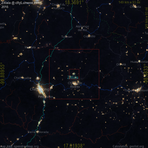
Analysis of Zitlala night lights 2016
Square area 10x10 km:
 0%
0%90-99
0%80-89
1.65%70-79
0%60-69
0.83%50-59
0%40-49
3.31%30-39
3.31%20-29
2.89%10-19
0.83%0-9
87.19%Square area 50x50 km:
0.02%90-99
0.06%80-89
0.29%70-79
0.21%60-69
0.36%50-59
0.11%40-49
0.75%30-39
0.56%20-29
0.71%10-19
0.5%0-9
96.43%Clear (daylight) street map image can be seen on geolist.org.
Map coordinates:
18° 21' 32.8" North, 99° 53' 22.4" West
17° 41' 25.8" North, 99° 11' 11.1" West
17° 1' 9.8" North, 98° 28' 59.9" West
Some cities around Zitlala sort by population:
• Chilpancingo
37.2 km =23.1 mi,  245°
245°
• Chilapa de Álvarez
10.2 km =6.3 mi,  172°
172°
• Zumpango del Río
36.3 km =22.6 mi,  263°
263°
• Tixtla de Guerrero
26.3 km =16.3 mi,  238°
238°
• Petaquillas
36.5 km =22.7 mi,  231°
231°
• Atliaca
20.4 km =12.7 mi, 257°
• Quechultenango
31.3 km =19.4 mi,  190°
190°
• Mochitlán
31.2 km =19.4 mi,  218°
218°
3514021 (p: 6,065)
Sources (retrieved 2019-11-25):
» Earth at Night: Flat Maps 2012, 2016