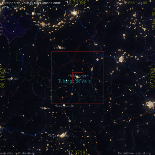
Tulcingo de Valle night lights from space
Night Light of Tulcingo de Valle (Puebla) from space (Mexico) Src. Average luminocity for 10x10km area is 4.1645% and for 50x50km: 0.9802%.
Analysis of Tulcingo de Valle night lights 2016
Square area 10x10 km:
 0%
0%90-99
0.22%80-89
1.52%70-79
0.65%60-69
1.08%50-59
0%40-49
1.73%30-39
0%20-29
0.87%10-19
0%0-9
93.94%Square area 50x50 km:
0%90-99
0.01%80-89
0.18%70-79
0.16%60-69
0.2%50-59
0.11%40-49
0.42%30-39
0.3%20-29
0.28%10-19
0.19%0-9
98.15%Clear (daylight) street map image can be seen on geolist.org.
Map coordinates:
18° 42' 39.5" North, 99° 8' 37.9" West
18° 2' 37.3" North, 98° 26' 26.7" West
17° 22' 26" North, 97° 44' 15.4" West
Some cities around Tulcingo de Valle sort by population:
• Acatlán de Osorio
45 km =28 mi,  66°
66°
• Chiautla de Tapia
33.4 km =20.8 mi,  329°
329°
• Ciudad de Chiautla de Tapia
33.3 km =20.7 mi, 328°
• Jolalpan
52.9 km =32.9 mi,  306°
306°
• Huamuxtitlán
29.6 km =18.4 mi,  206°
206°
• Olinalá
43.2 km =26.8 mi,  226°
226°
• Chietla
55 km =34.2 mi,  344°
344°
• Tehuitzingo
36.5 km =22.7 mi,  28°
28°
3515056 (p: 5,249)
Sources (retrieved 2019-11-25):
» Earth at Night: Flat Maps 2012, 2016