Tlaltenango de Sánchez Román night lights from space
Night Light of Tlaltenango de Sánchez Román (Zacatecas) from space (Mexico) Src. Average luminocity for 10x10km area is 17.0536% and for 50x50km: 1.2298%.
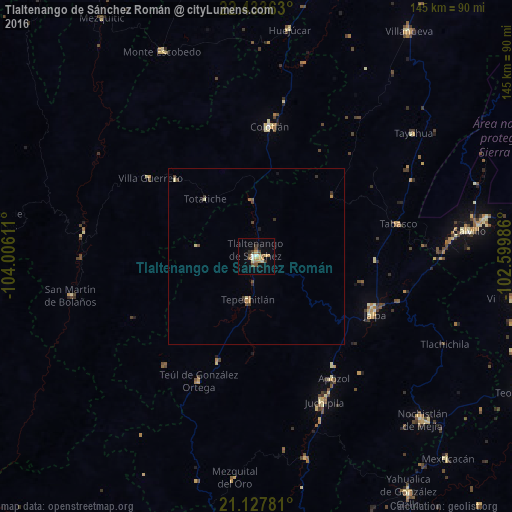
Analysis of Tlaltenango de Sánchez Román night lights 2016
Square area 10x10 km:
 0.6%
0.6%90-99
1.98%80-89
3.57%70-79
4.17%60-69
0.99%50-59
1.79%40-49
4.56%30-39
1.39%20-29
0.79%10-19
3.37%0-9
76.79%Square area 50x50 km:
0.02%90-99
0.13%80-89
0.23%70-79
0.23%60-69
0.1%50-59
0.15%40-49
0.45%30-39
0.2%20-29
0.1%10-19
0.23%0-9
98.16%Clear (daylight) street map image can be seen on geolist.org.
Map coordinates:
22° 26' 1.1" North, 104° 0' 22" West
21° 46' 56" North, 103° 18' 10.7" West
21° 7' 40.1" North, 102° 35' 59.5" West
Some cities around Tlaltenango de Sánchez Román sort by population:
• Calvillo
60.7 km =37.7 mi,  83°
83°
• Nochistlán de Mejía
66.3 km =41.2 mi,  134°
134°
• Villa Hidalgo
74.8 km =46.5 mi,  99°
99°
• Jalpa
37.3 km =23.2 mi,  116°
116°
• Colotlán
37 km =23 mi,  5°
5°
• Tabasco
41.4 km =25.7 mi, 77°
• Ojocaliente
65.4 km =40.6 mi, 81°
• Juchipila
45.8 km =28.5 mi,  155°
155°
3987402 (p: 16,396)
Sources (retrieved 2019-11-25):
» Earth at Night: Flat Maps 2012, 2016