Tesistán night lights from space
Night Light of Tesistán (Jalisco) from space (Mexico) Src. Average luminocity for 10x10km area is 67.4722% and for 50x50km: 30.4293%.
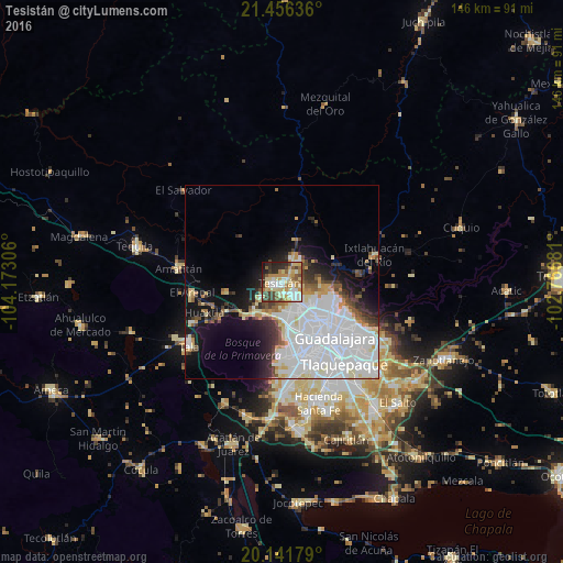
Analysis of Tesistán night lights 2016
Square area 10x10 km:
 12.3%
12.3%90-99
11.71%80-89
20.44%70-79
11.31%60-69
8.13%50-59
6.55%40-49
8.13%30-39
7.54%20-29
10.91%10-19
2.78%0-9
0.2%Square area 50x50 km:
13.23%90-99
6.29%80-89
2.96%70-79
2.38%60-69
1.51%50-59
1.9%40-49
2.55%30-39
2.39%20-29
3.67%10-19
8.7%0-9
54.42%Clear (daylight) street map image can be seen on geolist.org.
Map coordinates:
21° 27' 22.9" North, 104° 10' 23" West
20° 48' 1.8" North, 103° 28' 11.7" West
20° 8' 30.4" North, 102° 46' 0.5" West
Some cities around Tesistán sort by population:
• Guadalajara
16.9 km =10.5 mi,  151°
151°
• Zapopan
12.3 km =7.6 mi,  134°
134°
• Nuevo México
5.6 km =3.5 mi, 150°
• La Tijera
24.5 km =15.2 mi,  172°
172°
• El Arenal
23.4 km =14.5 mi,  263°
263°
• Los Ruiseñores
25.1 km =15.6 mi,  246°
246°
• Ixtlahuacán del Río
24.9 km =15.5 mi,  73°
73°
• La Venta del Astillero
11.2 km =7 mi,  224°
224°
3981791 (p: 62,397)
Sources (retrieved 2019-11-25):
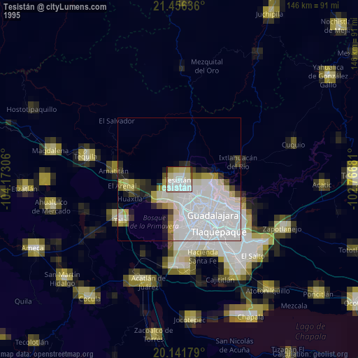
» NASA, Earths city lights 1995
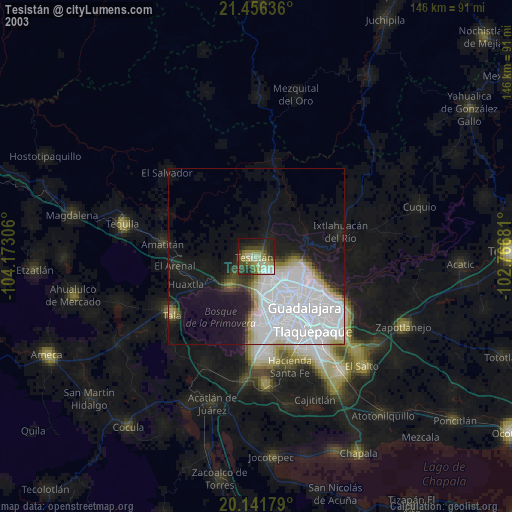
» NASA city lights 2003
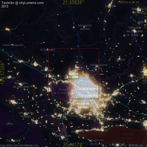
» Earth at Night: Flat Maps 2012, 2016