Guadalajara night lights from space
Night Light of Guadalajara (Jalisco) from space (Mexico) Src. Average luminocity for 10x10km area is 99.5227% and for 50x50km: 49.4975%.
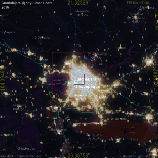
Analysis of Guadalajara night lights 2016
Square area 10x10 km:
 84.47%
90-99
14.02%80-89
1.52%70-79
0%60-69
0%50-59
0%40-49
0%30-39
0%20-29
0%10-19
0%0-9
0%Square area 50x50 km:
16.16%90-99
9.99%80-89
8.37%70-79
6.59%60-69
3.75%50-59
4.25%40-49
4.47%30-39
4.29%20-29
5.76%10-19
9.42%0-9
26.95%Clear (daylight) street map image can be seen on geolist.org.
Map coordinates:
21° 19' 23.7" North, 104° 5' 41.8" West
20° 40' 0.6" North, 103° 23' 30.6" West
20° 0' 27.1" North, 102° 41' 19.3" West
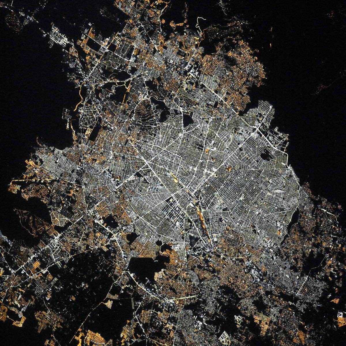
Fantastic image of Guadalajara from space taken by astronauts [src2], but I don't have information about it's orientation, scale or angle. If necessary, it was rotated manually, so North points approximately to upper direction. Click to zoom in:
Some cities around Guadalajara sort by population:
• Zapopan
6.4 km =4 mi,  6°
6°
• Tlaquepaque
10.7 km =6.6 mi,  105°
105°
• Nuevo México
11.3 km =7 mi,  331°
331°
• Las Pintitas
14.7 km =9.1 mi,  140°
140°
• Las Pintas de Arriba
12.6 km =7.8 mi,  145°
145°
• Santa Anita
14 km =8.7 mi,  202°
202°
• Real del Valle (El ParaÃso) [Fraccionamiento]
13.7 km =8.5 mi,  170°
170°
• La Tijera
10.7 km =6.6 mi,  208°
208°
4005539 (p: 1,495,182)
Sources (retrieved 2019-11-25):
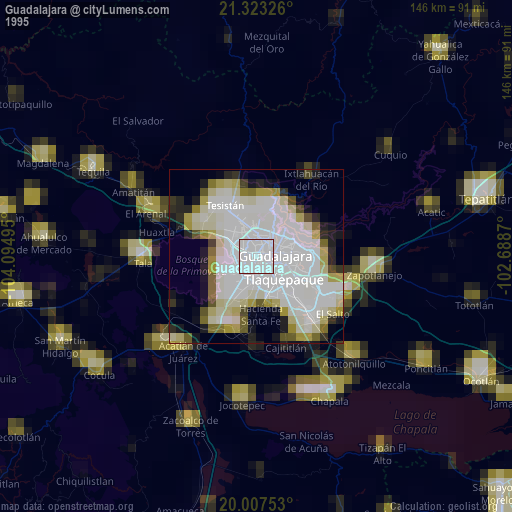
» NASA, Earths city lights 1995
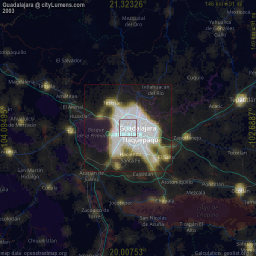
» NASA city lights 2003
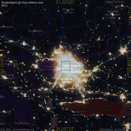
» Earth at Night: Flat Maps 2012, 2016
Src.2: picture by Oleg Kononenko, Roscosmos, retrieved 2019-11-29