Tepotzotlán night lights from space
Night Light of Tepotzotlán (México) from space (Mexico) Src. Average luminocity for 10x10km area is 84.3884% and for 50x50km: 60.4805%.
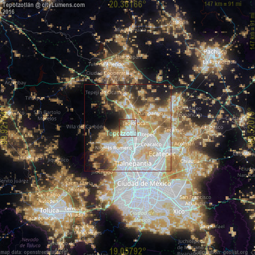
Analysis of Tepotzotlán night lights 2016
Square area 10x10 km:
 27.89%
90-99
28.72%80-89
11.78%70-79
12.19%60-69
4.34%50-59
5.58%40-49
4.34%30-39
4.34%20-29
0.83%10-19
0%0-9
0%Square area 50x50 km:
19.42%90-99
10.58%80-89
9.49%70-79
9.41%60-69
8.36%50-59
5.42%40-49
4.97%30-39
5.26%20-29
7.5%10-19
7.83%0-9
11.78%Clear (daylight) street map image can be seen on geolist.org.
Map coordinates:
20° 22' 54" North, 99° 55' 37.3" West
19° 43' 16.2" North, 99° 13' 26.1" West
19° 3' 28.5" North, 98° 31' 14.8" West
Some cities around Tepotzotlán sort by population:
• Cuautitlán
7.3 km =4.5 mi,  140°
140°
• Teoloyucan
5.2 km =3.2 mi,  60°
60°
• Coyotepec
6.3 km =3.9 mi,  10°
10°
• Huilango
5.7 km =3.5 mi,  216°
216°
• San Mateo Xoloc
3 km =1.9 mi,  237°
237°
• Santa Cruz del Monte
5.1 km =3.2 mi,  354°
354°
• San Bartolo
6.8 km =4.2 mi,  80°
80°
• San Mateo Ixtacalco
6 km =3.7 mi,  114°
114°
3515827 (p: 38,119)
Sources (retrieved 2019-11-25):
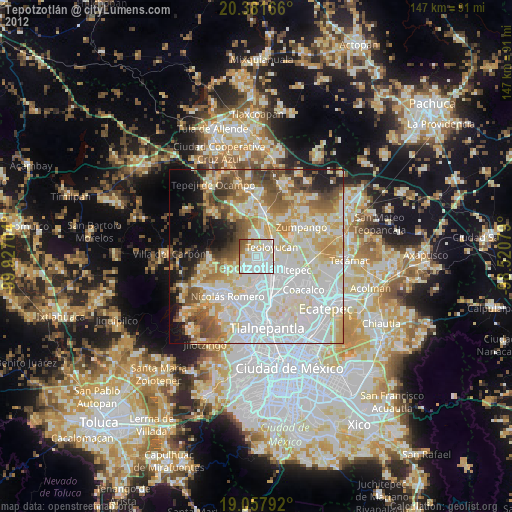
» Earth at Night: Flat Maps 2012, 2016