Teoloyucan night lights from space
Night Light of Teoloyucan (México) from space (Mexico) Src. Average luminocity for 10x10km area is 88.4835% and for 50x50km: 63.8445%.
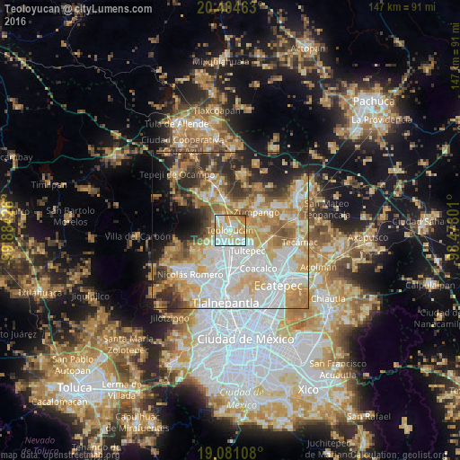

Analysis of Teoloyucan night lights 2016
Square area 10x10 km:
 25.62%
90-99
29.55%80-89
16.74%70-79
19.63%60-69
6.61%50-59
1.45%40-49
0.41%30-39
0%20-29
0%10-19
0%0-9
0%Square area 50x50 km:
18.31%90-99
11.86%80-89
10.68%70-79
10.83%60-69
9.73%50-59
5.44%40-49
5.29%30-39
5.69%20-29
7.95%10-19
7.81%0-9
6.42%Clear (daylight) street map image can be seen on geolist.org.
Map coordinates:
20° 24' 16.7" North, 99° 53' 3.3" West
19° 44' 39.2" North, 99° 10' 52.1" West
19° 4' 51.9" North, 98° 28' 40.8" West
Some cities around Teoloyucan sort by population:
• Cuautitlán
8.2 km =5.1 mi,  179°
179°
• Melchor Ocampo
6.1 km =3.8 mi,  141°
141°
• Tepotzotlán
5.2 km =3.2 mi,  240°
240°
• Coyotepec
5 km =3.1 mi,  317°
317°
• San Mateo Xoloc
8.2 km =5.1 mi, 239°
• Santa Cruz del Monte
5.6 km =3.5 mi,  296°
296°
• San Bartolo
2.7 km =1.7 mi,  123°
123°
• San Mateo Ixtacalco
5.1 km =3.2 mi,  168°
168°
3515942 (p: 51,255)
Sources (retrieved 2019-11-25):
» NASA, Earths city lights 1995
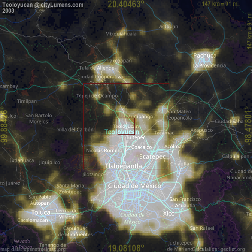
» NASA city lights 2003
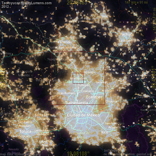
» Earth at Night: Flat Maps 2012, 2016