Coyotepec night lights from space
Night Light of Coyotepec (México) from space (Mexico) Src. Average luminocity for 10x10km area is 72.5455% and for 50x50km: 57.1824%.
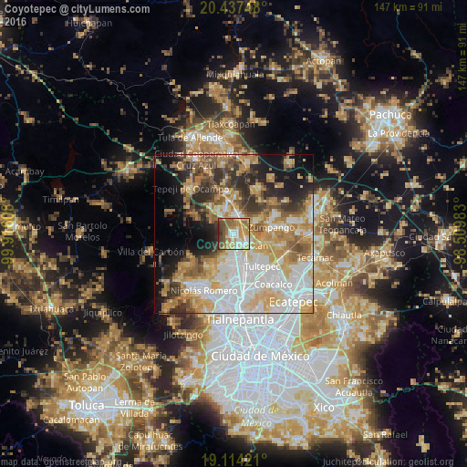
Analysis of Coyotepec night lights 2016
Square area 10x10 km:
 11.78%
90-99
13.43%80-89
13.02%70-79
17.98%60-69
15.5%50-59
12.81%40-49
10.33%30-39
4.34%20-29
0.83%10-19
0%0-9
0%Square area 50x50 km:
14.6%90-99
9.99%80-89
9.6%70-79
9.61%60-69
9.58%50-59
5.75%40-49
5.72%30-39
5.95%20-29
7.64%10-19
9.71%0-9
11.85%Clear (daylight) street map image can be seen on geolist.org.
Map coordinates:
20° 26' 14.9" North, 99° 54' 57.9" West
19° 46' 38" North, 99° 12' 46.6" West
19° 6' 51.2" North, 98° 30' 35.4" West
Some cities around Coyotepec sort by population:
• Teoloyucan
5 km =3.1 mi,  137°
137°
• Tepotzotlán
6.3 km =3.9 mi,  190°
190°
• Huehuetoca
5.7 km =3.5 mi,  9°
9°
• Ex-hacienda de Xalpa
5.9 km =3.7 mi,  32°
32°
• San Bartolo
6.5 km =4 mi,  18°
18°
• Santa Cruz del Monte
2 km =1.2 mi,  235°
235°
• San Bartolo
7.6 km =4.7 mi,  132°
132°
• Salitrillo
5.8 km =3.6 mi,  356°
356°
3530123 (p: 35,677)
Sources (retrieved 2019-11-25):
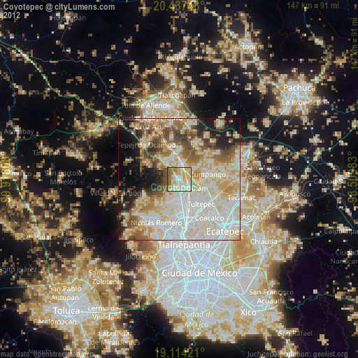
» Earth at Night: Flat Maps 2012, 2016