Tepatitlán de Morelos night lights from space
Night Light of Tepatitlán de Morelos (Jalisco) from space (Mexico) Src. Average luminocity for 10x10km area is 53.0833% and for 50x50km: 6.7746%.
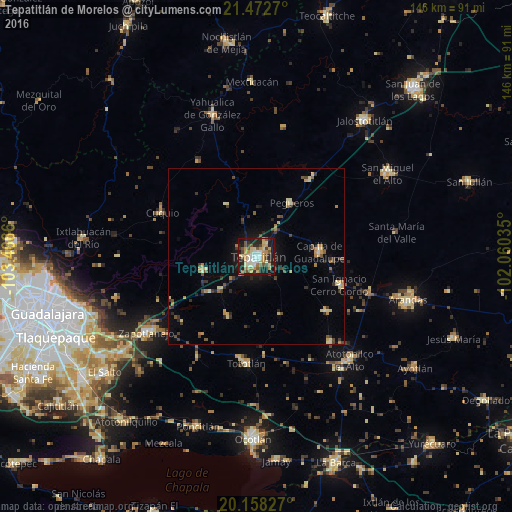

Analysis of Tepatitlán de Morelos night lights 2016
Square area 10x10 km:
 5.95%
5.95%90-99
9.72%80-89
11.9%70-79
13.49%60-69
2.98%50-59
6.94%40-49
8.73%30-39
3.77%20-29
17.06%10-19
19.05%0-9
0.4%Square area 50x50 km:
0.28%90-99
0.71%80-89
1.25%70-79
1.12%60-69
0.66%50-59
0.73%40-49
1.38%30-39
1.12%20-29
1.65%10-19
3.49%0-9
87.61%Clear (daylight) street map image can be seen on geolist.org.
Map coordinates:
21° 28' 21.7" North, 103° 27' 59.8" West
20° 49' 0.9" North, 102° 45' 48.5" West
20° 9' 29.8" North, 102° 3' 37.3" West
Some cities around Tepatitlán de Morelos sort by population:
• Zapotlanejo
38.3 km =23.8 mi,  235°
235°
• Atotonilco el Alto
39.7 km =24.7 mi,  138°
138°
• Capilla de Guadalupe
17.9 km =11.1 mi,  86°
86°
• Tototlán
30.7 km =19.1 mi,  185°
185°
• Acatic
15.8 km =9.8 mi,  254°
254°
• San Ignacio Cerro Gordo
25.1 km =15.6 mi,  108°
108°
• San Francisco de Asís
32.1 km =19.9 mi, 139°
• San José de Gracia
25.6 km =15.9 mi,  128°
128°
3981984 (p: 91,959)
Sources (retrieved 2019-11-25):
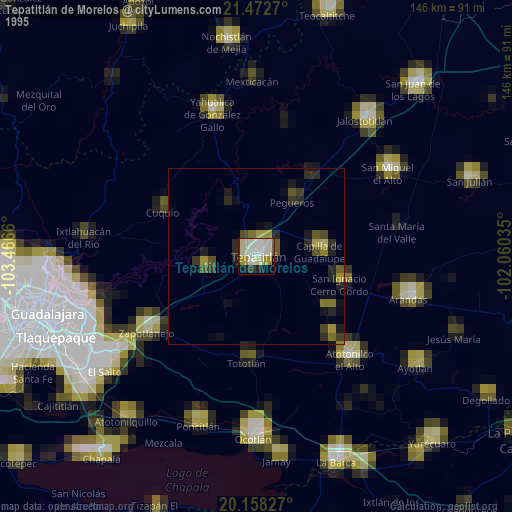
» NASA, Earths city lights 1995
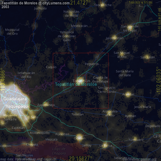
» NASA city lights 2003
» Earth at Night: Flat Maps 2012, 2016