Zapotlanejo night lights from space
Night Light of Zapotlanejo (Jalisco) from space (Mexico) Src. Average luminocity for 10x10km area is 38.0852% and for 50x50km: 24.2435%.
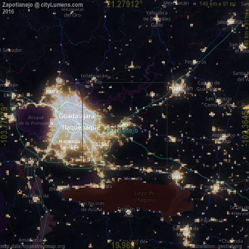
Analysis of Zapotlanejo night lights 2016
Square area 10x10 km:
 2.08%
2.08%90-99
2.84%80-89
6.25%70-79
6.44%60-69
8.14%50-59
5.87%40-49
8.52%30-39
7.01%20-29
15.53%10-19
34.85%0-9
2.46%Square area 50x50 km:
3.98%90-99
3.59%80-89
4.71%70-79
4.23%60-69
2.91%50-59
2.87%40-49
4.13%30-39
3.14%20-29
4.73%10-19
6.87%0-9
58.83%Clear (daylight) street map image can be seen on geolist.org.
Map coordinates:
21° 16' 44.8" North, 103° 46' 14.8" West
20° 37' 20.9" North, 103° 4' 3.6" West
19° 57' 46.8" North, 102° 21' 52.3" West
Some cities around Zapotlanejo sort by population:
• Tonalá
17.3 km =10.7 mi,  270°
270°
• Coyula
17 km =10.6 mi,  283°
283°
• El Salto
16.5 km =10.3 mi,  225°
225°
• San José del Castillo
21.4 km =13.3 mi,  235°
235°
• Centro de Readaptación Social
15.1 km =9.4 mi, 240°
• Juanacatlán
16.5 km =10.3 mi,  220°
220°
• Galaxia Bonito Jalisco
19.3 km =12 mi, 227°
• Puente Grande
10.7 km =6.6 mi, 236°
3979717 (p: 32,376)
Sources (retrieved 2019-11-25):
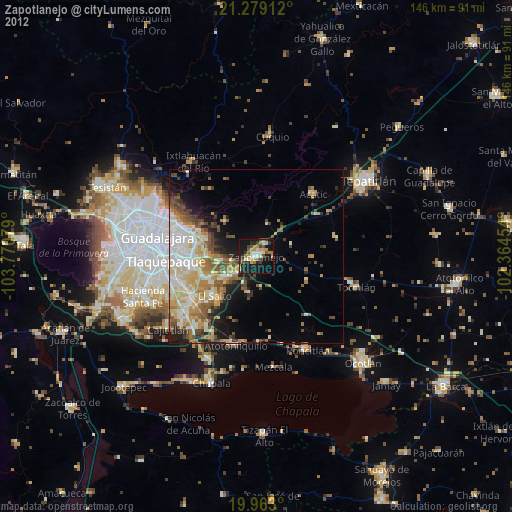
» Earth at Night: Flat Maps 2012, 2016