Teloloapan night lights from space
Night Light of Teloloapan (Guerrero) from space (Mexico) Src. Average luminocity for 10x10km area is 8.6281% and for 50x50km: 0.9181%.
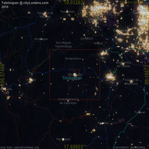
Analysis of Teloloapan night lights 2016
Square area 10x10 km:
 0%
0%90-99
0%80-89
2.89%70-79
1.03%60-69
3.51%50-59
0.41%40-49
1.86%30-39
0.62%20-29
0.83%10-19
1.65%0-9
87.19%Square area 50x50 km:
0%90-99
0%80-89
0.11%70-79
0.17%60-69
0.24%50-59
0.02%40-49
0.3%30-39
0.35%20-29
0.25%10-19
0.24%0-9
98.32%Clear (daylight) street map image can be seen on geolist.org.
Map coordinates:
19° 1' 57.5" North, 100° 34' 29.9" West
18° 21' 59.9" North, 99° 52' 18.7" West
17° 41' 53" North, 99° 10' 7.4" West
Some cities around Teloloapan sort by population:
• Iguala de la Independencia
35 km =21.7 mi,  93°
93°
• Taxco de Alarcón
35 km =21.7 mi,  53°
53°
• Arcelia
43.6 km =27.1 mi,  262°
262°
• Apaxtla de Castrejón
26.9 km =16.7 mi,  193°
193°
• Tepecoacuilco de Trujano
43.9 km =27.3 mi,  101°
101°
• Tlamacazapa
41.8 km =26 mi,  69°
69°
• Acamixtla
39.1 km =24.3 mi,  55°
55°
• Pilcaya
47.1 km =29.3 mi,  26°
26°
3516060 (p: 23,549)
Sources (retrieved 2019-11-25):
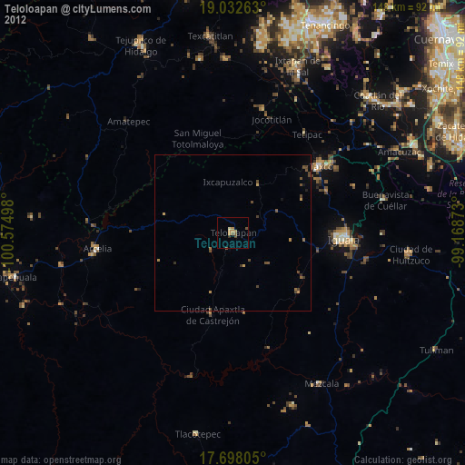
» Earth at Night: Flat Maps 2012, 2016