Arcelia night lights from space
Night Light of Arcelia (Guerrero) from space (Mexico) Src. Average luminocity for 10x10km area is 12.7955% and for 50x50km: 1.3467%.
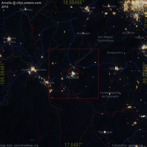
Analysis of Arcelia night lights 2016
Square area 10x10 km:
 0.21%
0.21%90-99
0.62%80-89
3.31%70-79
2.69%60-69
2.27%50-59
0.83%40-49
3.72%30-39
1.65%20-29
0.83%10-19
1.03%0-9
82.85%Square area 50x50 km:
0.01%90-99
0.03%80-89
0.17%70-79
0.25%60-69
0.25%50-59
0.19%40-49
0.51%30-39
0.36%20-29
0.32%10-19
0.18%0-9
97.73%Clear (daylight) street map image can be seen on geolist.org.
Map coordinates:
18° 59' 4.8" North, 100° 59' 4.6" West
18° 19' 6.5" North, 100° 16' 53.3" West
17° 38' 58.9" North, 99° 34' 42.1" West
Some cities around Arcelia sort by population:
• Tejupilco de Hidalgo
66.6 km =41.4 mi,  11°
11°
• Ciudad Altamirano
41.2 km =25.6 mi,  276°
276°
• Teloloapan
43.6 km =27.1 mi,  82°
82°
• Tlapehuala
28.4 km =17.6 mi,  252°
252°
• Apaxtla de Castrejón
42.3 km =26.3 mi,  119°
119°
• Coyuca de Catalán
44.1 km =27.4 mi,  271°
271°
• Tlacotepec
66.9 km =41.6 mi,  151°
151°
• Ajuchitlán del Progreso
28.3 km =17.6 mi,  229°
229°
4018320 (p: 18,685)
Sources (retrieved 2019-11-25):
» Earth at Night: Flat Maps 2012, 2016