Sonoita night lights from space
Night Light of Sonoita (Sonora) from space (Mexico) Src. Average luminocity for 10x10km area is 14.7363% and for 50x50km: 0.7047%.
Analysis of Sonoita night lights 2016
Square area 10x10 km:
 0.92%
0.92%90-99
2.01%80-89
1.83%70-79
1.83%60-69
3.3%50-59
2.56%40-49
2.93%30-39
1.1%20-29
0.55%10-19
3.3%0-9
79.67%Square area 50x50 km:
0.04%90-99
0.08%80-89
0.07%70-79
0.13%60-69
0.14%50-59
0.15%40-49
0.11%30-39
0.07%20-29
0.04%10-19
0.13%0-9
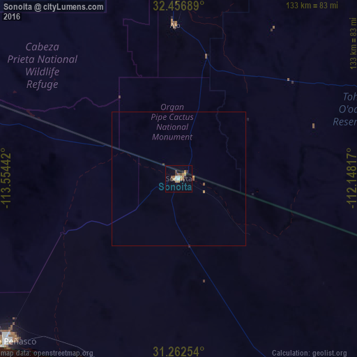
99.05%Clear (daylight) street map image can be seen on geolist.org.
Map coordinates:
32° 27' 24.8" North, 113° 33' 15.9" West
31° 51' 41.9" North, 112° 51' 4.6" West
31° 15' 45.1" North, 112° 8' 53.4" West
Some cities around Sonoita sort by population:
• Heroica Caborca
143.2 km =89 mi,  152°
152°
• Puerto Peñasco
88.9 km =55.2 mi,  227°
227°
• Casa Grande, US
152.8 km =94.9 mi,  42°
42°
• Maricopa, US
152.9 km =95 mi,  29°
29°
• Eloy, US
157.3 km =97.7 mi,  50°
50°
• Arizona City, US
149 km =92.6 mi, 48°
• Three Points, US
147 km =91.3 mi,  80°
80°
• Pitiquito
152 km =94.4 mi, 150°
3982837 (p: 12,849)
Sources (retrieved 2019-11-25):
» Earth at Night: Flat Maps 2012, 2016