Pitiquito night lights from space
Night Light of Pitiquito (Sonora) from space (Mexico) Src. Average luminocity for 10x10km area is 5.3357% and for 50x50km: 2.3611%.
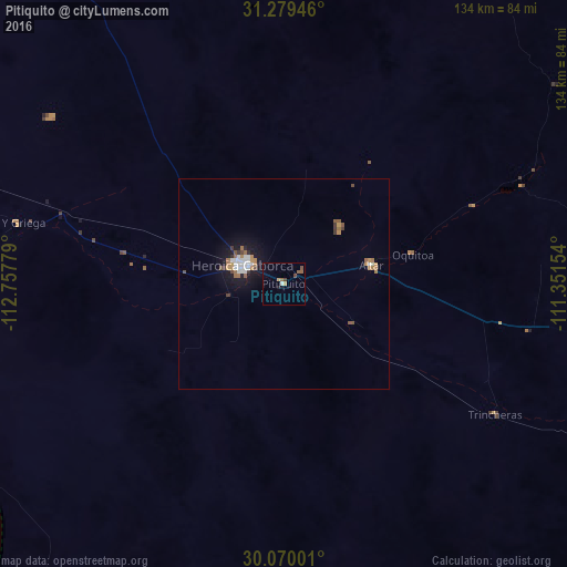
Analysis of Pitiquito night lights 2016
Square area 10x10 km:
 0%
0%90-99
0.7%80-89
0%70-79
1.22%60-69
0.52%50-59
2.27%40-49
1.57%30-39
0%20-29
0.52%10-19
0.87%0-9
92.31%Square area 50x50 km:
0.32%90-99
0.43%80-89
0.01%70-79
0.38%60-69
0.44%50-59
0.38%40-49
0.31%30-39
0.22%20-29
0.17%10-19
1.87%0-9
95.47%Clear (daylight) street map image can be seen on geolist.org.
Map coordinates:
31° 16' 46.1" North, 112° 45' 28" West
30° 40' 35.9" North, 112° 3' 16.8" West
30° 4' 12" North, 111° 21' 5.5" West
Some cities around Pitiquito sort by population:
• Nogales
127.2 km =79 mi,  56°
56°
• Heroica Caborca
10.9 km =6.8 mi,  295°
295°
• Magdalena de Kino
104.7 km =65.1 mi,  92°
92°
• Nogales, US
129.8 km =80.7 mi, 55°
• Santa Ana
90.8 km =56.4 mi,  99°
99°
• Altar
21.2 km =13.2 mi,  78°
78°
• Imuris
116.2 km =72.2 mi, 83°
• Benjamín Hill
106.4 km =66.1 mi,  122°
122°
3992405 (p: 5,410)
Sources (retrieved 2019-11-25):
» Earth at Night: Flat Maps 2012, 2016