Puerto Peñasco night lights from space
Night Light of Puerto Peñasco (Sonora) from space (Mexico) Src. Average luminocity for 10x10km area is 36.3077% and for 50x50km: 1.8601%.
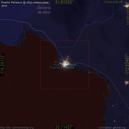
Analysis of Puerto Peñasco night lights 2016
Square area 10x10 km:
 7.87%
7.87%90-99
7.34%80-89
0.17%70-79
2.1%60-69
7.52%50-59
8.04%40-49
4.37%30-39
4.55%20-29
3.15%10-19
34.79%0-9
20.1%Square area 50x50 km:
0.33%90-99
0.31%80-89
0.01%70-79
0.09%60-69
0.32%50-59
0.38%40-49
0.29%30-39
0.24%20-29
0.15%10-19
2.01%0-9
95.89%Clear (daylight) street map image can be seen on geolist.org.
Map coordinates:
31° 54' 57.3" North, 114° 14' 28" West
31° 19' 1.8" North, 113° 32' 16.8" West
30° 42' 52.5" North, 112° 50' 5.5" West
Some cities around Puerto Peñasco sort by population:
• San Luis Río Colorado
172.1 km =106.9 mi,  317°
317°
• Heroica Caborca
147.4 km =91.6 mi,  116°
116°
• Fortuna Foothills, US
170.3 km =105.8 mi,  331°
331°
• San Felipe
128 km =79.5 mi,  255°
255°
• Sonoita
88.9 km =55.2 mi,  47°
47°
• Estación Coahuila
169 km =105 mi,  305°
305°
• Ciudad Coahuila (Kilómetro Cincuenta y Siete)
169.4 km =105.3 mi, 305°
• Pitiquito
158.3 km =98.4 mi, 116°
3991347 (p: 56,756)
Sources (retrieved 2019-11-25):
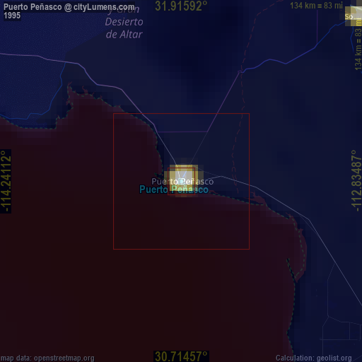
» NASA, Earths city lights 1995
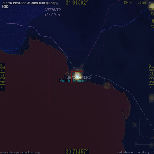
» NASA city lights 2003
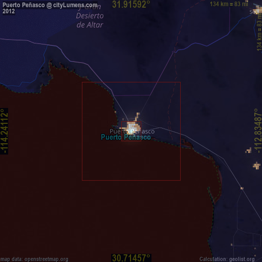
» Earth at Night: Flat Maps 2012, 2016