Empalme night lights from space
Night Light of Empalme (Sonora) from space (Mexico) Src. Average luminocity for 10x10km area is 30.3788% and for 50x50km: 5.9897%.
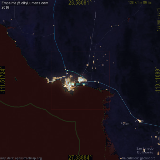
Analysis of Empalme night lights 2016
Square area 10x10 km:
 5.49%
5.49%90-99
4.73%80-89
3.6%70-79
3.6%60-69
1.89%50-59
1.14%40-49
3.98%30-39
3.6%20-29
7.2%10-19
48.86%0-9
15.91%Square area 50x50 km:
0.59%90-99
0.63%80-89
1.21%70-79
1.18%60-69
0.49%50-59
0.39%40-49
0.88%30-39
0.71%20-29
1.5%10-19
5.84%0-9
86.58%Clear (daylight) street map image can be seen on geolist.org.
Map coordinates:
28° 34' 51.3" North, 111° 31' 2.1" West
27° 57' 42" North, 110° 48' 50.8" West
27° 20' 19.8" North, 110° 6' 39.6" West
Some cities around Empalme sort by population:
• Heroica Guaymas
9.5 km =5.9 mi,  240°
240°
• Esperanza
96.8 km =60.1 mi,  116°
116°
• Vicam
62.2 km =38.6 mi, 124°
• Cocorit
94.5 km =58.7 mi, 117°
• San Ignacio Río Muerto
82.5 km =51.3 mi,  137°
137°
• Potam
54.1 km =33.6 mi,  133°
133°
• Francisco Javier Mina
88.9 km =55.2 mi, 128°
• Campo Sesenta
90.4 km =56.2 mi, 128°
4006806 (p: 42,516)
Sources (retrieved 2019-11-25):
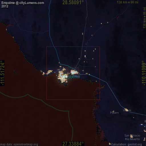
» Earth at Night: Flat Maps 2012, 2016