Miguel Alemán (La Doce) night lights from space
Night Light of Miguel Alemán (La Doce) (Sonora) from space (Mexico) Src. Average luminocity for 10x10km area is 12.4905% and for 50x50km: 2.1372%.
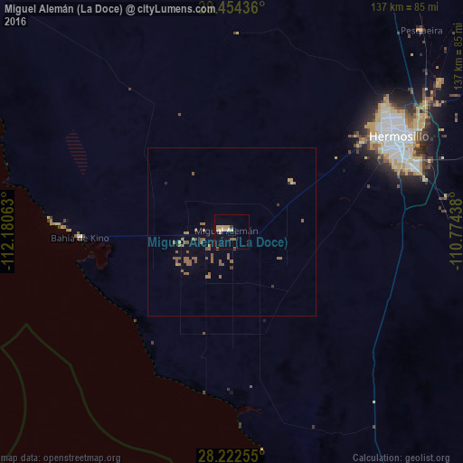
Analysis of Miguel Alemán (La Doce) night lights 2016
Square area 10x10 km:
 1.14%
1.14%90-99
1.89%80-89
1.33%70-79
4.73%60-69
0.76%50-59
1.52%40-49
0%30-39
0.76%20-29
0%10-19
0.38%0-9
87.5%Square area 50x50 km:
0.07%90-99
0.07%80-89
0.11%70-79
0.31%60-69
0.41%50-59
1.37%40-49
0.04%30-39
0.12%20-29
0.06%10-19
0.06%0-9
97.37%Clear (daylight) street map image can be seen on geolist.org.
Map coordinates:
29° 27' 15.7" North, 112° 10' 50.3" West
28° 50' 25" North, 111° 28' 39" West
28° 13' 21.2" North, 110° 46' 27.8" West
Some cities around Miguel Alemán (La Doce) sort by population:
• Hermosillo
56.7 km =35.2 mi,  59°
59°
• Heroica Guaymas
117.1 km =72.8 mi,  151°
151°
• Empalme
117.3 km =72.9 mi, 146°
• Vicam
176.5 km =109.7 mi,  138°
138°
• Potam
170.4 km =105.9 mi, 142°
• Bahía de Kino
45.2 km =28.1 mi,  267°
267°
• Pesqueira
82.4 km =51.2 mi,  43°
43°
• Benjamín Hill
151.9 km =94.4 mi,  13°
13°
3970972 (p: 30,869)
Sources (retrieved 2019-11-25):
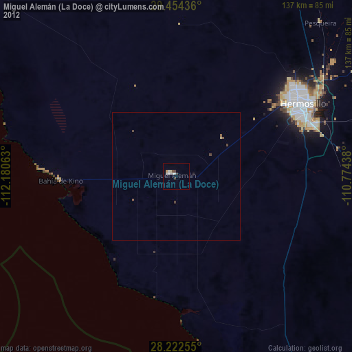
» Earth at Night: Flat Maps 2012, 2016