Guerrero Negro night lights from space
Night Light of Guerrero Negro (Baja California) from space (Mexico) Src. Average luminocity for 10x10km area is 21.8371% and for 50x50km: 1.0091%.
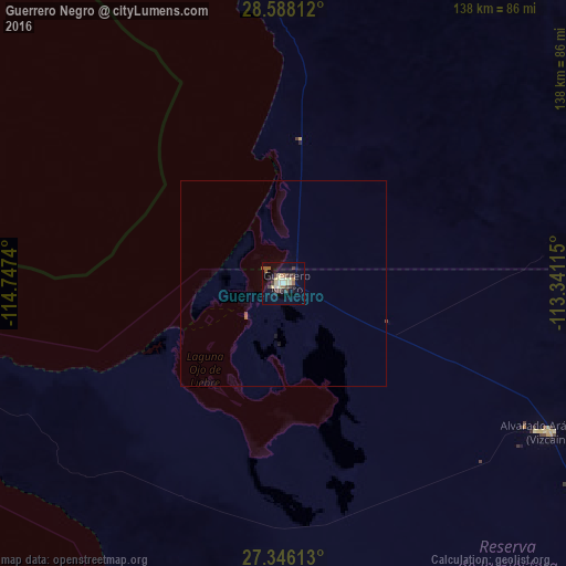
Analysis of Guerrero Negro night lights 2016
Square area 10x10 km:
 0.76%
0.76%90-99
2.65%80-89
7.2%70-79
0.57%60-69
1.7%50-59
3.41%40-49
4.92%30-39
4.17%20-29
2.65%10-19
12.12%0-9
59.85%Square area 50x50 km:
0.03%90-99
0.11%80-89
0.29%70-79
0.02%60-69
0.09%50-59
0.16%40-49
0.23%30-39
0.17%20-29
0.11%10-19
0.55%0-9
98.25%Clear (daylight) street map image can be seen on geolist.org.
Map coordinates:
28° 35' 17.2" North, 114° 44' 50.6" West
27° 58' 8.1" North, 114° 2' 39.4" West
27° 20' 46.1" North, 113° 20' 28.1" West
Some cities around Guerrero Negro sort by population:
• Hermosillo
325 km =201.9 mi,  67°
67°
• Heroica Guaymas
309.1 km =192.1 mi,  91°
91°
• Empalme
317.2 km =197.1 mi, 90°
• Miguel Alemán (La Doce)
269.1 km =167.2 mi, 68°
• Santa Rosalía
188.4 km =117.1 mi,  111°
111°
• San Luis
59.1 km =36.7 mi,  29°
29°
• Villa Alberto Andrés Alvarado Arámburo
74.2 km =46.1 mi,  119°
119°
• Bahía de Kino
226.6 km =140.8 mi, 65°
4021858 (p: 13,054)
Sources (retrieved 2019-11-25):
» Earth at Night: Flat Maps 2012, 2016