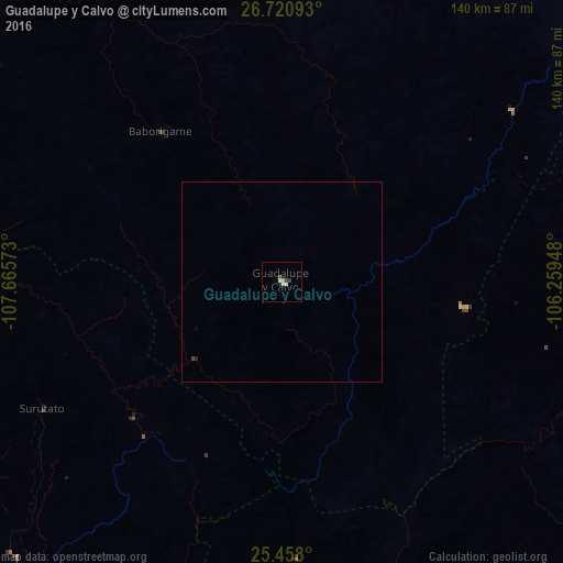
Guadalupe y Calvo night lights from space
Night Light of Guadalupe y Calvo (Chihuahua) from space (Mexico) Src. Average luminocity for 10x10km area is 4.3393% and for 50x50km: 0.1931%.
Analysis of Guadalupe y Calvo night lights 2016
Square area 10x10 km:
 0%
0%90-99
0.6%80-89
1.79%70-79
0.79%60-69
0%50-59
0%40-49
1.59%30-39
0.79%20-29
0%10-19
0.79%0-9
93.65%Square area 50x50 km:
0%90-99
0.02%80-89
0.07%70-79
0.03%60-69
0%50-59
0%40-49
0.09%30-39
0.03%20-29
0.03%10-19
0.03%0-9
99.69%Clear (daylight) street map image can be seen on geolist.org.
Map coordinates:
26° 43' 15.3" North, 107° 39' 56.6" West
26° 5' 28.2" North, 106° 57' 45.4" West
25° 27' 28.8" North, 106° 15' 34.1" West
Some cities around Guadalupe y Calvo sort by population:
• Guamúchil
131.9 km =82 mi,  237°
237°
• Guachochi
81.8 km =50.8 mi,  352°
352°
• Santa Bárbara
138.6 km =86.1 mi,  55°
55°
• Estacion Bamoa
141.6 km =88 mi,  252°
252°
• Pericos
134.5 km =83.6 mi,  213°
213°
• Mocorito
117.4 km =72.9 mi,  234°
234°
• Sinaloa de Leyva
129.5 km =80.5 mi,  256°
256°
• Angostura
144.6 km =89.9 mi, 236°
4005370 (p: 5,816)
Sources (retrieved 2019-11-25):
» Earth at Night: Flat Maps 2012, 2016