Parral night lights from space
Night Light of Parral (Chihuahua) from space (Mexico) Src. Average luminocity for 10x10km area is 42.4722% and for 50x50km: 3.1042%.
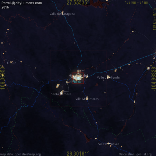
Analysis of Parral night lights 2016
Square area 10x10 km:
 4.37%
4.37%90-99
12.3%80-89
10.12%70-79
4.76%60-69
3.37%50-59
3.37%40-49
2.98%30-39
1.19%20-29
7.34%10-19
44.05%0-9
6.15%Square area 50x50 km:
0.21%90-99
0.63%80-89
0.63%70-79
0.3%60-69
0.25%50-59
0.3%40-49
0.28%30-39
0.39%20-29
0.57%10-19
2.51%0-9
93.92%Clear (daylight) street map image can be seen on geolist.org.
Map coordinates:
27° 33' 19.3" North, 106° 22' 10.3" West
26° 55' 48.8" North, 105° 39' 59" West
26° 18' 5.8" North, 104° 57' 47.8" West
Some cities around Parral sort by population:
• Ciudad Delicias
141.4 km =87.9 mi,  7°
7°
• Camargo
96.5 km =60 mi,  30°
30°
• José Mariano Jiménez
76.8 km =47.7 mi,  73°
73°
• Guachochi
140.2 km =87.1 mi,  264°
264°
• Saucillo
127.7 km =79.3 mi,  16°
16°
• Santa Bárbara
20.7 km =12.9 mi,  227°
227°
• Santa María del Oro
113.1 km =70.3 mi,  164°
164°
• Rosales
140.2 km =87.1 mi,  4°
4°
4004867 (p: 104,836)
Sources (retrieved 2019-11-25):
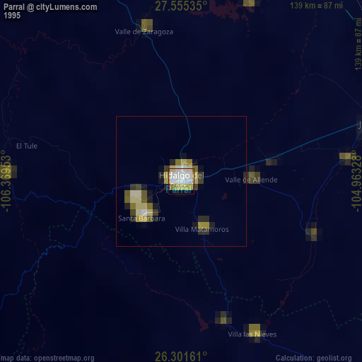
» NASA, Earths city lights 1995
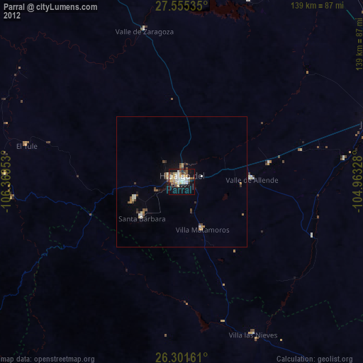
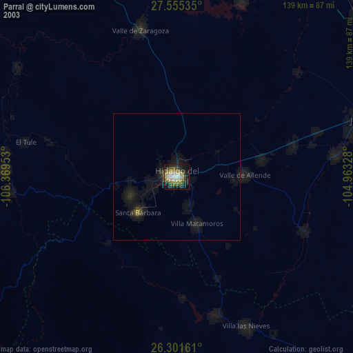
» NASA city lights 2003
» Earth at Night: Flat Maps 2012, 2016