Santa María Atzompa night lights from space
Night Light of Santa María Atzompa (Oaxaca) from space (Mexico) Src. Average luminocity for 10x10km area is 69.2792% and for 50x50km: 17.4532%.
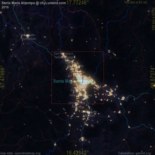
Analysis of Santa María Atzompa night lights 2016
Square area 10x10 km:
 12.34%
90-99
17.1%80-89
12.34%70-79
13.64%60-69
10.39%50-59
7.14%40-49
10.39%30-39
8.66%20-29
7.36%10-19
0.65%0-9
0%Square area 50x50 km:
1.39%90-99
2.66%80-89
3.03%70-79
3.42%60-69
2.61%50-59
1.76%40-49
3.43%30-39
2.76%20-29
4.27%10-19
10.12%0-9
64.57%Clear (daylight) street map image can be seen on geolist.org.
Map coordinates:
17° 46' 20.9" North, 97° 28' 48" West
17° 6' 5.9" North, 96° 46' 36.7" West
16° 25' 42.3" North, 96° 4' 25.5" West
Some cities around Santa María Atzompa sort by population:
• Oaxaca
6.9 km =4.3 mi,  125°
125°
• San Antonio de la Cal
11.4 km =7.1 mi, 134°
• San Jacinto Amilpas
1.5 km =0.9 mi,  89°
89°
• El Rosario
11.1 km =6.9 mi, 126°
• Hacienda Blanca
4.3 km =2.7 mi,  1°
1°
• San Lorenzo Cacaotepec
4 km =2.5 mi,  316°
316°
• Villa de Etla
11.9 km =7.4 mi,  348°
348°
• San Agustín de las Juntas
12.1 km =7.5 mi,  145°
145°
3517280 (p: 21,788)
Sources (retrieved 2019-11-25):
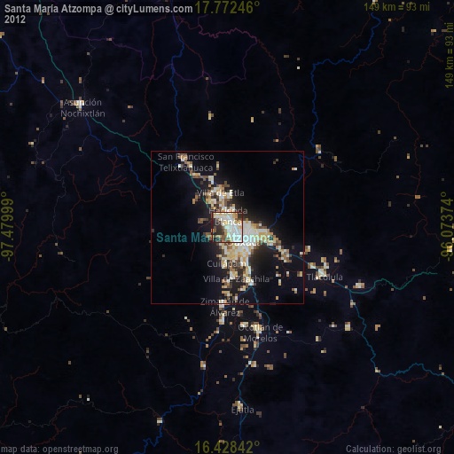
» Earth at Night: Flat Maps 2012, 2016