San Luis de la Paz night lights from space
Night Light of San Luis de la Paz (Guanajuato) from space (Mexico) Src. Average luminocity for 10x10km area is 32.2576% and for 50x50km: 5.2126%.
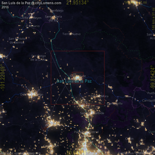
Analysis of San Luis de la Paz night lights 2016
Square area 10x10 km:
 3.41%
3.41%90-99
3.22%80-89
5.49%70-79
7.58%60-69
3.03%50-59
2.65%40-49
6.25%30-39
5.3%20-29
5.3%10-19
36.17%0-9
21.59%Square area 50x50 km:
0.18%90-99
0.2%80-89
0.42%70-79
0.73%60-69
0.57%50-59
0.88%40-49
1.51%30-39
1.78%20-29
1.6%10-19
4.73%0-9
87.4%Clear (daylight) street map image can be seen on geolist.org.
Map coordinates:
21° 57' 4.8" North, 101° 13' 13.8" West
21° 17' 51.8" North, 100° 31' 2.5" West
20° 38' 28.2" North, 99° 48' 51.3" West
Some cities around San Luis de la Paz sort by population:
• San Miguel de Allende
48.6 km =30.2 mi,  208°
208°
• Dolores Hidalgo Cuna de la Independencia Nacional
45.8 km =28.5 mi,  249°
249°
• San José Iturbide
35.7 km =22.2 mi,  157°
157°
• Santa María del Río
59.9 km =37.2 mi,  337°
337°
• San Diego de la Unión
41.4 km =25.7 mi,  297°
297°
• Misión de Chichimecas
3.5 km =2.2 mi,  113°
113°
• Tierra Nueva
41.7 km =25.9 mi,  352°
352°
• Doctor Mora
26.8 km =16.7 mi,  130°
130°
3985621 (p: 49,914)
Sources (retrieved 2019-11-25):
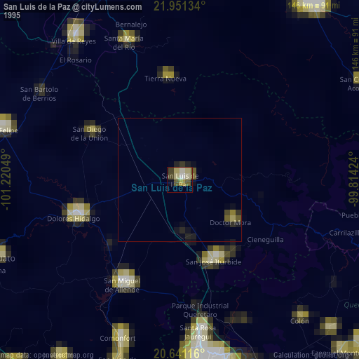
» NASA, Earths city lights 1995
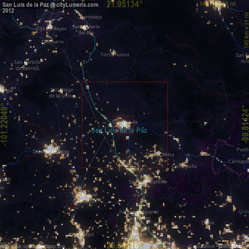
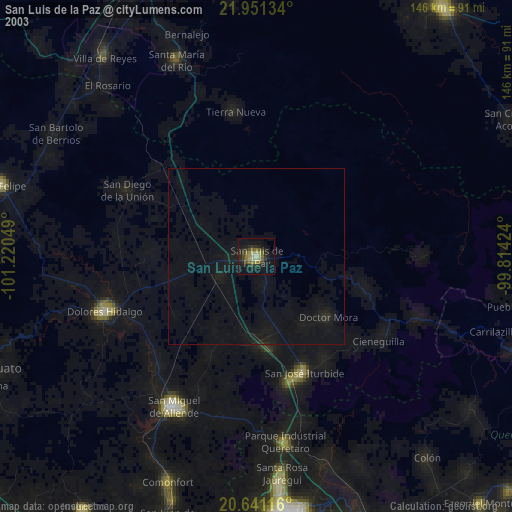
» NASA city lights 2003
» Earth at Night: Flat Maps 2012, 2016