Salina Cruz night lights from space
Night Light of Salina Cruz (Oaxaca) from space (Mexico) Src. Average luminocity for 10x10km area is 73.595% and for 50x50km: 10.3435%.
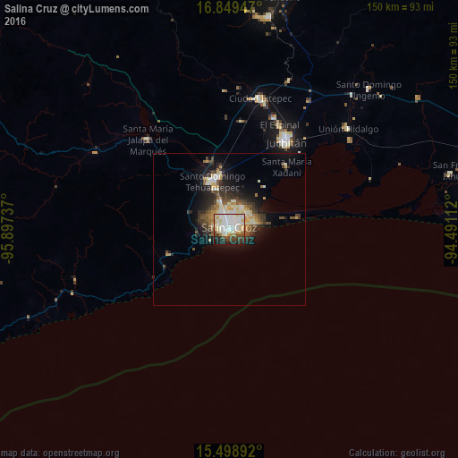
Analysis of Salina Cruz night lights 2016
Square area 10x10 km:
 22.11%
90-99
27.89%80-89
10.74%70-79
3.51%60-69
3.1%50-59
3.1%40-49
9.5%30-39
6.61%20-29
7.23%10-19
6.2%0-9
0%Square area 50x50 km:
1.09%90-99
2.61%80-89
1.24%70-79
1.12%60-69
0.87%50-59
1.3%40-49
1.85%30-39
2%20-29
2.73%10-19
6.05%0-9
79.13%Clear (daylight) street map image can be seen on geolist.org.
Map coordinates:
16° 50' 58.1" North, 95° 53' 50.5" West
16° 10' 31.3" North, 95° 11' 39.3" West
15° 29' 56.1" North, 94° 29' 28" West
Some cities around Salina Cruz sort by population:
• Juchitán de Zaragoza
34.5 km =21.4 mi,  32°
32°
• Santo Domingo Tehuantepec
17.3 km =10.7 mi,  343°
343°
• San Blas Atempa
17.6 km =10.9 mi,  349°
349°
• Santa María Jalapa del Marqués
39.8 km =24.7 mi,  317°
317°
• El Espinal
38.2 km =23.7 mi, 25°
• Santa María Xadani
28 km =17.4 mi,  42°
42°
• Asunción Ixtaltepec
39.1 km =24.3 mi,  21°
21°
• San Mateo del Mar
23 km =14.3 mi,  80°
80°
3520064 (p: 76,596)
Sources (retrieved 2019-11-25):
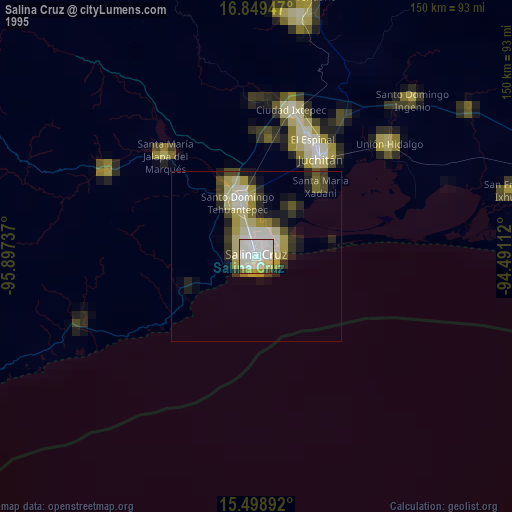
» NASA, Earths city lights 1995
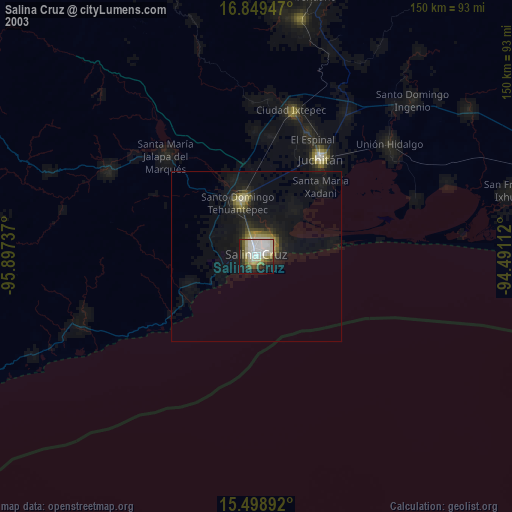
» NASA city lights 2003
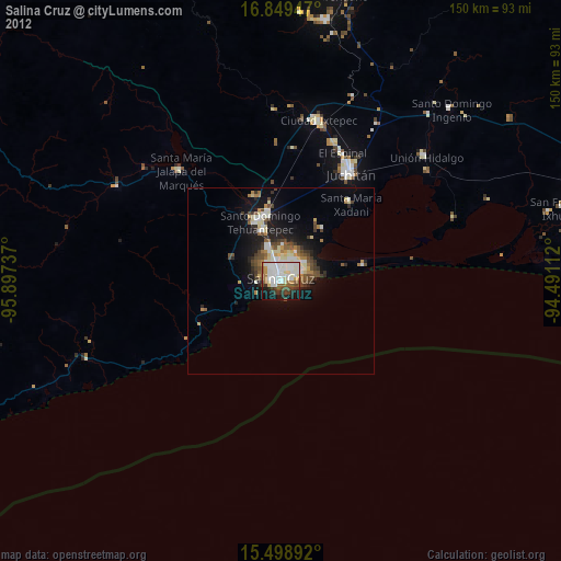
» Earth at Night: Flat Maps 2012, 2016