San Felipe night lights from space
Night Light of San Felipe (Baja California) from space (Mexico) Src. Average luminocity for 10x10km area is 15.0934% and for 50x50km: 0.8999%.
Analysis of San Felipe night lights 2016
Square area 10x10 km:
 0.18%
0.18%90-99
2.01%80-89
1.28%70-79
1.83%60-69
2.93%50-59
4.21%40-49
2.75%30-39
4.21%20-29
1.47%10-19
0.92%0-9
78.21%Square area 50x50 km:
0.01%90-99
0.08%80-89
0.05%70-79
0.07%60-69
0.24%50-59
0.19%40-49
0.24%30-39
0.35%20-29
0.07%10-19
0.04%0-9
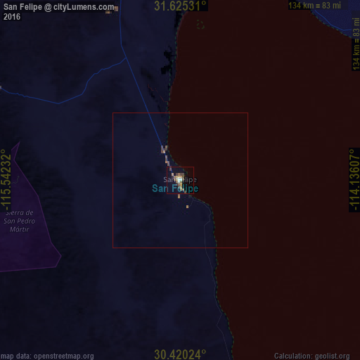
98.66%Clear (daylight) street map image can be seen on geolist.org.
Map coordinates:
31° 37' 31.1" North, 115° 32' 32.4" West
31° 1' 28.8" North, 114° 50' 21.1" West
30° 25' 12.9" North, 114° 8' 9.9" West
Some cities around San Felipe sort by population:
• Puerto Peñasco
128 km =79.5 mi,  75°
75°
• Lázaro Cárdenas
117.6 km =73.1 mi,  242°
242°
• Vicente Guerrero
114.6 km =71.2 mi,  253°
253°
• Camalú
118.5 km =73.6 mi,  260°
260°
• Doctor Alberto Oviedo Mota
137.3 km =85.3 mi,  346°
346°
• Estación Coahuila
130.8 km =81.3 mi, 353°
• Emiliano Zapata
115.1 km =71.5 mi, 254°
• Ciudad Coahuila (Kilómetro Cincuenta y Siete)
131.1 km =81.5 mi, 353°
3987224 (p: 16,702)
Sources (retrieved 2019-11-25):
» Earth at Night: Flat Maps 2012, 2016