Ponciano Arriaga night lights from space
Night Light of Ponciano Arriaga (San Luis Potosí) from space (Mexico) Src. Average luminocity for 10x10km area is 2.1875% and for 50x50km: 0.8226%.
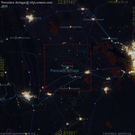
Analysis of Ponciano Arriaga night lights 2016
Square area 10x10 km:
 0%
0%90-99
0%80-89
0%70-79
0.19%60-69
1.33%50-59
1.52%40-49
0%30-39
0%20-29
0.76%10-19
0%0-9
96.21%Square area 50x50 km:
0%90-99
0.03%80-89
0.1%70-79
0.14%60-69
0.25%50-59
0.15%40-49
0.22%30-39
0.17%20-29
0.16%10-19
0.16%0-9
98.63%Clear (daylight) street map image can be seen on geolist.org.
Map coordinates:
22° 54' 41.1" North, 99° 17' 34.3" West
22° 15' 44" North, 98° 35' 23" West
21° 36' 36" North, 97° 53' 11.8" West
Some cities around Ponciano Arriaga sort by population:
• Ciudad Valles
52.5 km =32.6 mi,  235°
235°
• Pánuco
47.7 km =29.6 mi,  119°
119°
• Ébano
22.4 km =13.9 mi,  102°
102°
• Tamuín
34.6 km =21.5 mi,  214°
214°
• Ursulo Galván
58.6 km =36.4 mi,  27°
27°
• El Higo
56.9 km =35.4 mi,  165°
165°
• San Vicente Tancuayalab
60.4 km =37.5 mi,  179°
179°
• Cuauhtémoc
54.9 km =34.1 mi,  55°
55°
8708781 (p: 6,665)
Sources (retrieved 2019-11-25):
» Earth at Night: Flat Maps 2012, 2016