Tamuín night lights from space
Night Light of Tamuín (San Luis Potosí) from space (Mexico) Src. Average luminocity for 10x10km area is 8.994% and for 50x50km: 2.5677%.
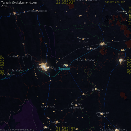
Analysis of Tamuín night lights 2016
Square area 10x10 km:
 0%
0%90-99
0.4%80-89
4.17%70-79
0.99%60-69
1.98%50-59
0.79%40-49
1.19%30-39
0.6%20-29
0.2%10-19
0.79%0-9
88.89%Square area 50x50 km:
0.15%90-99
0.32%80-89
0.52%70-79
0.37%60-69
0.29%50-59
0.36%40-49
0.48%30-39
0.51%20-29
0.37%10-19
1.8%0-9
94.84%Clear (daylight) street map image can be seen on geolist.org.
Map coordinates:
22° 39' 21.3" North, 99° 28' 58.3" West
22° 0' 19.9" North, 98° 46' 47" West
21° 21' 7.7" North, 98° 4' 35.8" West
Some cities around Tamuín sort by population:
• Ciudad Valles
23.9 km =14.9 mi,  267°
267°
• Pánuco
61.5 km =38.2 mi,  85°
85°
• Ébano
47.7 km =29.6 mi,  60°
60°
• Tanquián de Escobedo
46.1 km =28.6 mi,  164°
164°
• El Higo
43 km =26.7 mi,  128°
128°
• Axtla de Terrazas
63.7 km =39.6 mi,  188°
188°
• Ponciano Arriaga
34.6 km =21.5 mi,  34°
34°
• San Vicente Tancuayalab
37.5 km =23.3 mi,  148°
148°
3516347 (p: 16,318)
Sources (retrieved 2019-11-25):
» Earth at Night: Flat Maps 2012, 2016