San Vicente Tancuayalab night lights from space
Night Light of San Vicente Tancuayalab (San Luis Potosí) from space (Mexico) Src. Average luminocity for 10x10km area is 3.3864% and for 50x50km: 0.9003%.
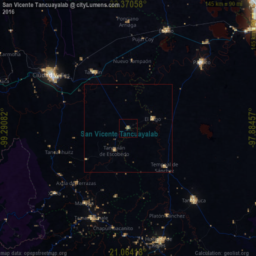
Analysis of San Vicente Tancuayalab night lights 2016
Square area 10x10 km:
 0%
0%90-99
0%80-89
0%70-79
0.95%60-69
2.08%50-59
0%40-49
0.76%30-39
0.95%20-29
0.57%10-19
0.76%0-9
93.94%Square area 50x50 km:
0%90-99
0.03%80-89
0.19%70-79
0.23%60-69
0.2%50-59
0.06%40-49
0.17%30-39
0.34%20-29
0.15%10-19
0.14%0-9
98.5%Clear (daylight) street map image can be seen on geolist.org.
Map coordinates:
22° 22' 14.1" North, 99° 17' 27" West
21° 43' 7.9" North, 98° 35' 15.7" West
21° 3' 51" North, 97° 53' 4.5" West
Some cities around San Vicente Tancuayalab sort by population:
• Ciudad Valles
53.5 km =33.2 mi,  305°
305°
• Tamazunchale
55.1 km =34.2 mi,  202°
202°
• Tamuín
37.5 km =23.3 mi,  328°
328°
• Tempoal de Sánchez
30.2 km =18.8 mi,  137°
137°
• Platón Sánchez
54.4 km =33.8 mi,  156°
156°
• Tanquián de Escobedo
14.8 km =9.2 mi,  211°
211°
• El Higo
15 km =9.3 mi,  69°
69°
• Axtla de Terrazas
43 km =26.7 mi,  223°
223°
3516764 (p: 6,444)
Sources (retrieved 2019-11-25):
» Earth at Night: Flat Maps 2012, 2016