Pátzcuaro night lights from space
Night Light of Pátzcuaro (Michoacán) from space (Mexico) Src. Average luminocity for 10x10km area is 29.1322% and for 50x50km: 3.9262%.
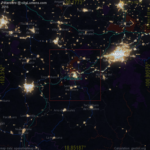
Analysis of Pátzcuaro night lights 2016
Square area 10x10 km:
 0%
0%90-99
2.27%80-89
6.82%70-79
7.44%60-69
6.82%50-59
1.45%40-49
6.61%30-39
0%20-29
3.31%10-19
38.02%0-9
27.27%Square area 50x50 km:
0%90-99
0.1%80-89
0.62%70-79
0.58%60-69
0.89%50-59
0.34%40-49
1.23%30-39
0.76%20-29
0.84%10-19
2.04%0-9
92.59%Clear (daylight) street map image can be seen on geolist.org.
Map coordinates:
20° 10' 38.3" North, 102° 18' 43.2" West
19° 30' 57.4" North, 101° 36' 31.9" West
18° 51' 6.7" North, 100° 54' 20.7" West
Some cities around Pátzcuaro sort by population:
• Tacámbaro de Codallos
35 km =21.7 mi,  153°
153°
• Ario de Rosales
35.7 km =22.2 mi,  196°
196°
• Quiroga
18.9 km =11.7 mi,  28°
28°
• Santa Clara del Cobre
12.7 km =7.9 mi,  194°
194°
• Opopeo
11.6 km =7.2 mi,  178°
178°
• Tingambato
25.7 km =16 mi,  266°
266°
• Acuítzio del Canje
29 km =18 mi,  94°
94°
• Capula
28.7 km =17.8 mi,  52°
52°
3993179 (p: 55,298)
Sources (retrieved 2019-11-25):
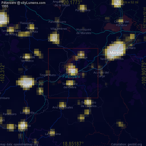
» NASA, Earths city lights 1995
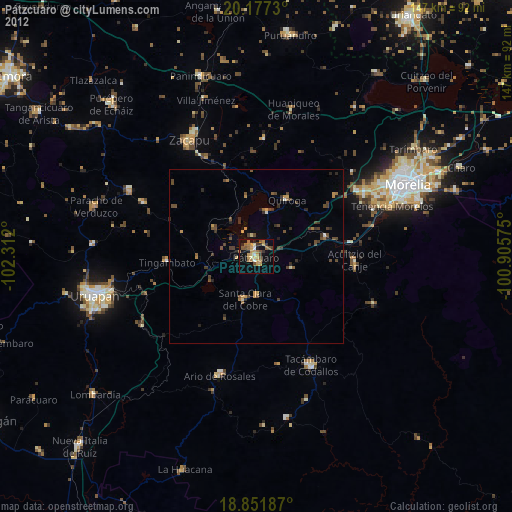
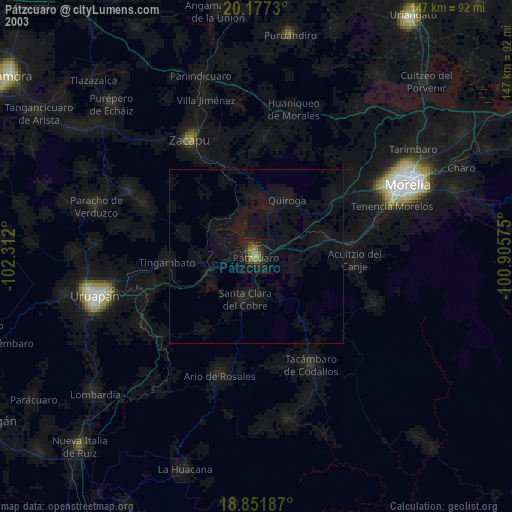
» NASA city lights 2003
» Earth at Night: Flat Maps 2012, 2016