Papalotla night lights from space
Night Light of Papalotla (Tlaxcala) from space (Mexico) Src. Average luminocity for 10x10km area is 76.5866% and for 50x50km: 56.4687%.
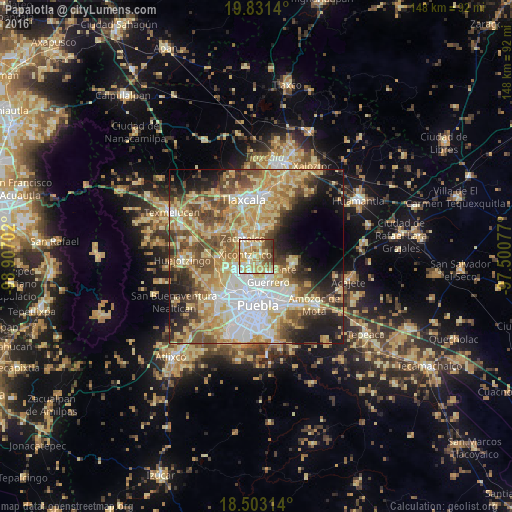
Analysis of Papalotla night lights 2016
Square area 10x10 km:
 5.63%
5.63%90-99
18.4%80-89
27.71%70-79
20.13%60-69
8.87%50-59
6.71%40-49
9.52%30-39
2.81%20-29
0.22%10-19
0%0-9
0%Square area 50x50 km:
10.16%90-99
8.21%80-89
14.62%70-79
10.71%60-69
7.59%50-59
7.7%40-49
8.5%30-39
5.16%20-29
6.73%10-19
9.68%0-9
10.95%Clear (daylight) street map image can be seen on geolist.org.
Map coordinates:
19° 49' 53" North, 98° 54' 25.3" West
19° 10' 7" North, 98° 12' 14" West
18° 30' 11.3" North, 97° 30' 2.8" West
Some cities around Papalotla sort by population:
• Villa Vicente Guerrero
6.6 km =4.1 mi,  142°
142°
• Zacatelco
6.5 km =4 mi,  324°
324°
• Almecatla
4.4 km =2.7 mi,  229°
229°
• Xicohtzinco
3.2 km =2 mi,  280°
280°
• Tenancingo
2.4 km =1.5 mi,  173°
173°
• Mazatecochco
2.1 km =1.3 mi,  58°
58°
• Santa Catarina Ayometla
3.5 km =2.2 mi,  342°
342°
• San Lorenzo Axocomanitla
7.7 km =4.8 mi, 322°
3815447 (p: 22,969)
Sources (retrieved 2019-11-25):
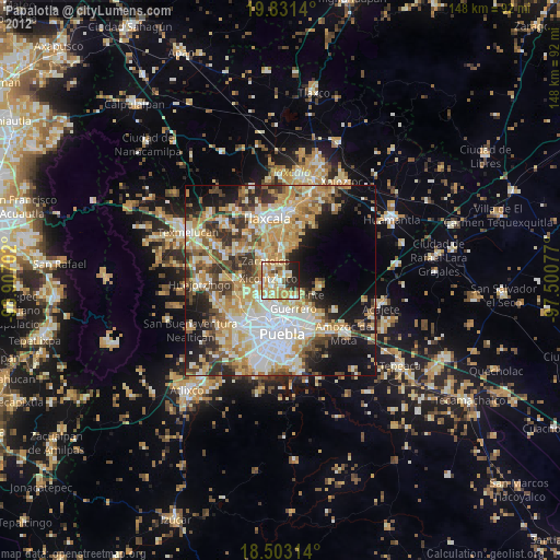
» Earth at Night: Flat Maps 2012, 2016