Ometepec night lights from space
Night Light of Ometepec (Guerrero) from space (Mexico) Src. Average luminocity for 10x10km area is 20.619% and for 50x50km: 2.3294%.
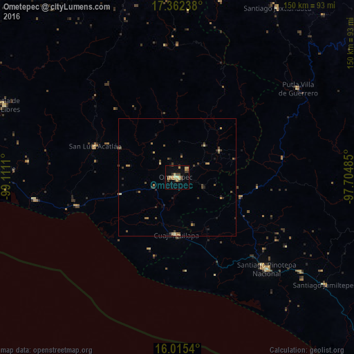
Analysis of Ometepec night lights 2016
Square area 10x10 km:
 0%
0%90-99
1.52%80-89
5.84%70-79
4.98%60-69
2.38%50-59
1.73%40-49
4.98%30-39
3.68%20-29
0.65%10-19
4.98%0-9
69.26%Square area 50x50 km:
0%90-99
0.13%80-89
0.45%70-79
0.39%60-69
0.38%50-59
0.25%40-49
0.66%30-39
0.48%20-29
0.47%10-19
0.58%0-9
96.2%Clear (daylight) street map image can be seen on geolist.org.
Map coordinates:
17° 21' 44.6" North, 99° 6' 40" West
16° 41' 24.3" North, 98° 24' 28.7" West
16° 0' 55.4" North, 97° 42' 17.5" West
Some cities around Ometepec sort by population:
• Pinotepa Nacional
54.3 km =33.7 mi,  135°
135°
• Putla Villa de Guerrero
63.2 km =39.3 mi,  53°
53°
• Cuajinicuilapa
24.1 km =15 mi,  181°
181°
• San Luis Acatlán
37.1 km =23.1 mi,  290°
290°
• Copala
61.4 km =38.2 mi,  261°
261°
• Marquelia
45.1 km =28 mi,  254°
254°
• Pinotepa de Don Luis
54.5 km =33.9 mi,  122°
122°
• San Juan Colorado
54.7 km =34 mi, 117°
3522343 (p: 24,120)
Sources (retrieved 2019-11-25):
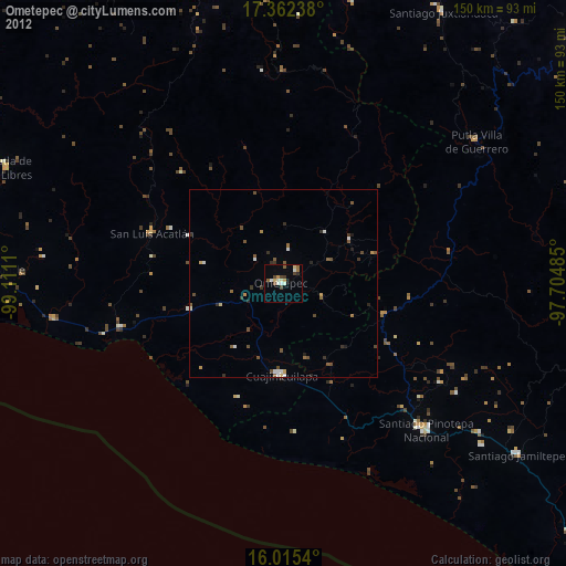
» Earth at Night: Flat Maps 2012, 2016